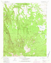
1963 Map of Cerro Pelon
USGS Topo · Published 1981About this map
Bartolome Fernandez Grant Boundary and the Cebolleta Grant Boundary define the complex land tenure of this high-elevation landscape within the Cibola National Forest. The 1963 survey, with updates from 1978, documents an arid environment managed for water resources, marked by numerous man-made and natural catchments such as Llanito Frio Tanks, Salazar Tank, and Effran Tank. The terrain is characterized by deep incisions like San Miguel Canyon and American Canyon, which drop away from volcanic summits including Cerro Pelon and Cerro Osha. Evidence of early cattle or sheep ranching infrastructure is preserved through features like Sandoval Cabin Spring and Salazar Cabin Spring, while the primitive San Mateo-Springs Track No 5 provides a historical trace of transit through the high San Lucas Valley.
Find a feature on this map
54 named features on this map. Tap any name to fly to it.
Don’t see what you’re looking for? This feature index may not catch every label — zoom into the map to look around manually.
Map Details
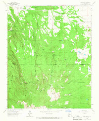
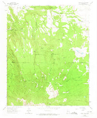
Editions of this 1963 Cerro Pelon Map
3 editions found
Other maps of this area

1883 · Mt. Taylor
USGS Topo · 1:250,000

1886 · Mt. Taylor
USGS Topo · 1:250,000

1892 · Mt. Taylor
USGS Topo · 1:250,000

1899 · Mt. Taylor
USGS Topo · 1:250,000

1957 · Lobo Springs
USGS Topo · 1:24,000

1957 · Mount Taylor
USGS Topo · 1:24,000

1957 · Seboyeta
USGS Topo · 1:24,000

1958 · Albuquerque
USGS Topo · 1:250,000

1961 · El Dado Mesa
USGS Topo · 1:24,000
1961 · Laguna Canoneros
USGS Topo · 1:24,000