
1970 Map of Ceylon
USGS Topo · Published 1972About this map
The town of Ceylon anchors this 1970 survey of the border region between Martin County, Minnesota, and Emmet County, Iowa. The landscape is defined by its complex hydrology and agricultural drainage, featuring the East Fork Des Moines River and a chain of natural water bodies including Susan Lake, Fish Lake, and Clear Lake. Notable for local historians is the depiction of several former lake basins, specifically the Manyaska Lakebed and Smith Lakebed, which illustrate the long-term modification of the prairie landscape for farming.
Find a feature on this map
27 named features on this map. Tap any name to fly to it.
Don’t see what you’re looking for? This feature index may not catch every label — zoom into the map to look around manually.
Map Details
Editions of this 1970 Ceylon Map
This is the sole edition of this map. No revisions or reprints were ever made.
Other maps of this area

1954 · Fairmont
USGS Topo · 1:250,000

1958 · Fairmont
USGS Topo · 1:250,000

1970 · Welcome
USGS Topo · 1:24,000

1970 · Dunnell
USGS Topo · 1:24,000

1970 · Wilbert
USGS Topo · 1:24,000

1970 · Sherburn
USGS Topo · 1:24,000
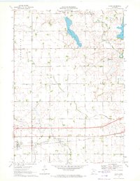
1970 · Alpha
USGS Topo · 1:24,000

1972 · Estherville
USGS Topo · 1:24,000

1980 · Gruver
USGS Topo · 1:24,000
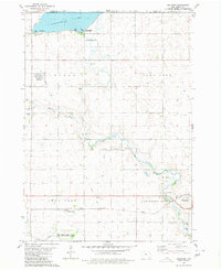
1980 · Dolliver
USGS Topo · 1:24,000