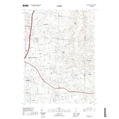
2019 Map of Chagrin Falls
USGS Topo · Published 2019About this map
Chagrin Falls and the surrounding suburban landscape of Cuyahoga County are defined by the winding course of the Chagrin River and its numerous tributaries, including Griswold Cr and Aurora Br. This modern survey reveals a densely developed region where residential growth in Solon, Beachwood, and Pepper Pike is balanced by significant green spaces and historical markers. Of particular interest to genealogists is the high density of burial grounds, ranging from the large Evergreen Cem to smaller sites like the Jackson-Family Cem and Orange Hogsback Hill Cem. The transportation network is anchored by I-271 and Us HWY 422, which facilitate the connection between these communities and institutional landmarks like Ursuline College and the Siegal Beachwood Facility. Small bodies of water such as Briar Hill Lake and Neptune Lake are scattered throughout the residential blocks, highlighting the local drainage patterns into the nearby Tinkers Cr and Beaver Meadow Run systems.
Find a feature on this map
55 named features on this map. Tap any name to fly to it.
Don’t see what you’re looking for? This feature index may not catch every label — zoom into the map to look around manually.
Map Details
Editions of this 2019 Chagrin Falls Map
This is the sole edition of this map. No revisions or reprints were ever made.
Other maps of this area

1901 · Euclid
USGS Topo · 1:62,500

1903 · Cleveland
USGS Topo · 1:62,500

1903 · Euclid
USGS Topo · 1:62,500

1905 · Mentor
USGS Topo · 1:62,500

1906 · Chagrin Falls
USGS Topo · 1:62,500

1907 · Mentor
USGS Topo · 1:62,500

1908 · Chagrin Falls
USGS Topo · 1:62,500

1950 · Cleveland
USGS Topo · 1:250,000

1953 · South Russell
USGS Topo · 1:24,000

1953 · Aurora
USGS Topo · 1:24,000