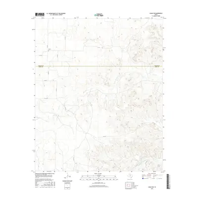
2016 Map of Chalk SW
USGS Topo · Published 2016About this map
Shinnery Cem stands as a lonely marker of early settlement on the high ground between the Cottle and King county line. The landscape is defined by the complex drainage system of the Middle Fork Wichita River, which snakes through the southern portion of the territory. Numerous intermittent streams, including Farrer Cr, Furrer Cr, and Dry Cr, carve through the terrain, illustrating the hydrologic character of this part of West Texas. A network of local roads such as Co RD 462 and Co RD 202 connect the scattered ranch lands, while FM 3416 provides the primary paved artery through the southwestern quadrant. This survey preserves the exact placement of these rural corridors and watercourses before modern shifts in land use or infrastructure.
Find a feature on this map
17 named features on this map. Tap any name to fly to it.
Don’t see what you’re looking for? This feature index may not catch every label — zoom into the map to look around manually.
Map Details
Editions of this 2016 Chalk SW Map
This is the sole edition of this map. No revisions or reprints were ever made.
Other maps of this area

1954 · Lubbock
USGS Topo · 1:250,000

1966 · Ox Yoke Creek
USGS Topo · 1:24,000

1966 · Chalk SW
USGS Topo · 1:24,000

1966 · J Y Ranch
USGS Topo · 1:24,000

1966 · Lowrance Mountain
USGS Topo · 1:24,000

1967 · Fourmile Hill
USGS Topo · 1:24,000

1968 · Y Ranch
USGS Topo · 1:24,000

1968 · Grow
USGS Topo · 1:24,000
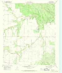
1968 · Chalk
USGS Topo · 1:24,000
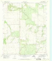
1968 · Ginsite
USGS Topo · 1:24,000