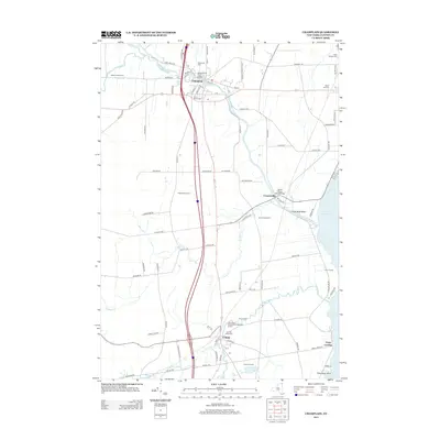
2013 Map of Champlain
USGS Topo · Published 2013About this map
The Great Chazy River meanders through this portion of Clinton County, defining the settlement patterns of Champlain and Coopersville before reaching Lake Champlain. In this northern border region, the landscape is a mix of agricultural operations like Chazy Orchard and Laurin Farms and essential local infrastructure. Significant genealogical markers are found in the numerous religious and community burial grounds, including Saint Marys Cem, Sacred Heart Cem, and Saint Patricks Cem. The proximity to the lake is evident at Chazy Landing and the Chazy Boat Basin, which sit near King Bay. Further south, the community of Chazy is established along the Little Chazy River, showing a typical Upstate New York village layout where residential streets like Church St and River St center around local services.
Find a feature on this map
88 named features on this map. Tap any name to fly to it.
Don’t see what you’re looking for? This feature index may not catch every label — zoom into the map to look around manually.
Map Details
Editions of this 2013 Champlain Map
This is the sole edition of this map. No revisions or reprints were ever made.
Other maps of this area

1895 · Mooers
USGS Topo · 1:62,500

1895 · Rouse Point
USGS Topo · 1:62,500

1899 · Mooers
USGS Topo · 1:62,500

1907 · Rouse Point
USGS Topo · 1:62,500

1939 · Rouses Point
USGS Topo · 1:62,500

1942 · Mooers
USGS Topo · 1:62,500

1943 · Mooers
USGS Topo · 1:62,500

1943 · Rouses Point
USGS Topo · 1:62,500

1950 · Lake Champlain
USGS Topo · 1:250,000

1956 · Rouses Point
USGS Topo · 1:62,500