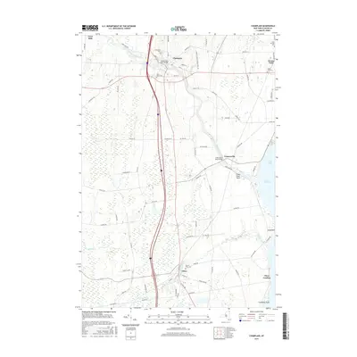
2016 Map of Champlain
USGS Topo · Published 2016About this map
The Great Chazy River snakes through the northern reaches of Clinton County, anchoring a series of small settlements near the Canadian border. The village of Champlain sits at a critical junction of local transport, while further east the map reaches the shores of Lake Champlain at Rouses Point. The landscape is a mix of agricultural plots and low-lying wetlands, particularly around the Little Chazy River and Corbeau Cr.
Find a feature on this map
76 named features on this map. Tap any name to fly to it.
Don’t see what you’re looking for? This feature index may not catch every label — zoom into the map to look around manually.
Map Details
Editions of this 2016 Champlain Map
This is the sole edition of this map. No revisions or reprints were ever made.
Other maps of this area

1895 · Mooers
USGS Topo · 1:62,500

1895 · Rouse Point
USGS Topo · 1:62,500

1899 · Mooers
USGS Topo · 1:62,500

1907 · Rouse Point
USGS Topo · 1:62,500

1939 · Rouses Point
USGS Topo · 1:62,500

1942 · Mooers
USGS Topo · 1:62,500

1943 · Mooers
USGS Topo · 1:62,500

1943 · Rouses Point
USGS Topo · 1:62,500

1950 · Lake Champlain
USGS Topo · 1:250,000

1956 · Rouses Point
USGS Topo · 1:62,500