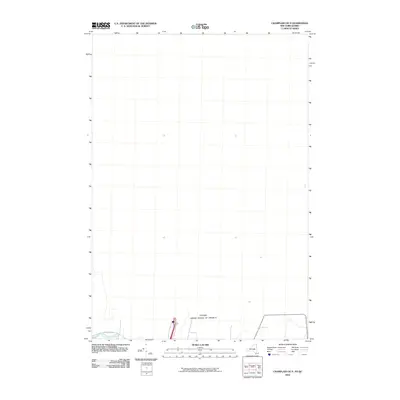
2010 Map of Champlain OE N
USGS Topo · Published 2010About this map
The international boundary between New York and Quebec defines the character of this northernmost borderland area. Situated along the fringe of the Adirondack foothills, the landscape is shaped by the southern flow of the Great Chazy River, which cuts through the bottom corner of the sheet. The local infrastructure in this rural pocket is limited to a handful of routes, most notably Perry Mills Rd, connecting small homesteads and agricultural tracts to the broader region. This 2010 survey offers a clear view of the border corridor just before modern digital mapping became the standard, capturing the precise line where northern Clinton County meets the Canadian frontier.
Find a feature on this map
3 named features on this map. Tap any name to fly to it.
Don’t see what you’re looking for? This feature index may not catch every label — zoom into the map to look around manually.
Map Details
Editions of this 2010 Champlain OE N Map
This is the sole edition of this map. No revisions or reprints were ever made.
Other maps of this area

1895 · Mooers
USGS Topo · 1:62,500

1895 · Rouse Point
USGS Topo · 1:62,500

1899 · Mooers
USGS Topo · 1:62,500

1907 · Rouse Point
USGS Topo · 1:62,500

1939 · Rouses Point
USGS Topo · 1:62,500

1942 · Mooers
USGS Topo · 1:62,500

1943 · Mooers
USGS Topo · 1:62,500

1943 · Rouses Point
USGS Topo · 1:62,500

1950 · Lake Champlain
USGS Topo · 1:250,000

1956 · Rouses Point
USGS Topo · 1:62,500