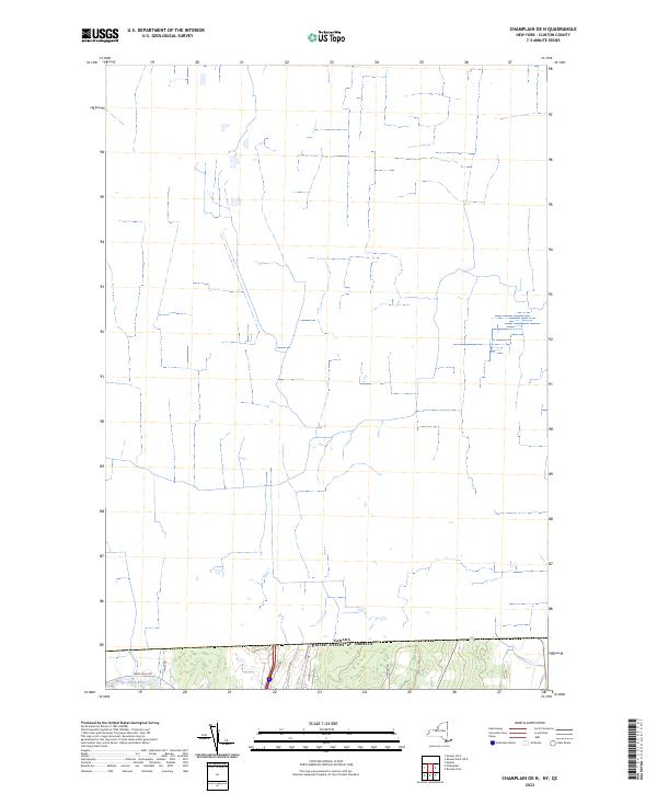
2023 Map of Champlain OE N
USGS Topo · Published 2023About this map
The Canada United States of America border defines the northern character of this region, where the landscape transitions into the agricultural and forested corridors of Clinton County. Along the southern edge of the sheet, the Great Chazy River flows through the terrain near Perry Mills Rd, serving as a primary hydrological feature in an otherwise road-defined borderland. The area is marked by a network of local thoroughfares including Meridan Rd, Gamlaw Rd, and Glass Rd, which provide access to rural parcels and homesteads.
Find a feature on this map
7 named features on this map. Tap any name to fly to it.
Don’t see what you’re looking for? This feature index may not catch every label — zoom into the map to look around manually.
Map Details
Editions of this 2023 Champlain OE N Map
This is the sole edition of this map. No revisions or reprints were ever made.
Other maps of this area

1895 · Mooers
USGS Topo · 1:62,500

1895 · Rouse Point
USGS Topo · 1:62,500

1899 · Mooers
USGS Topo · 1:62,500

1907 · Rouse Point
USGS Topo · 1:62,500

1939 · Rouses Point
USGS Topo · 1:62,500

1942 · Mooers
USGS Topo · 1:62,500

1943 · Mooers
USGS Topo · 1:62,500

1943 · Rouses Point
USGS Topo · 1:62,500

1950 · Lake Champlain
USGS Topo · 1:250,000

1956 · Rouses Point
USGS Topo · 1:62,500