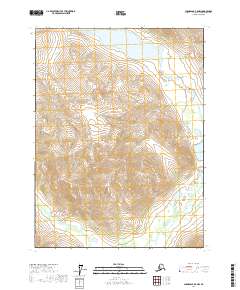
2017 Map of Chandalar B-5 NW
USGS Topo · Published 2017About this map
S Fork Koyukuk River flows through the southeastern portion of this remote Alaskan interior landscape, which is defined by an intricate network of drainages and high-elevation terrain. Named water features like Holy Moses Cr, Shamrock Cr, and Wakeup Cr indicate a history of local nomenclature likely tied to early prospecting or travel through these valleys. The topography is anchored by Bob Johnson Lake in the north and the smaller S Fork Lake to the east. Smaller tributaries such as Jim Pup and California Cr suggest the kind of small-scale drainage mapping essential for navigating the Yukon-Koyukuk region. This 2017 survey by the U.S. Geological Survey provides a precise view of the hydrology and elevation before any modern infrastructure altered these corridors.
Find a feature on this map
17 named features on this map. Tap any name to fly to it.
Don’t see what you’re looking for? This feature index may not catch every label — zoom into the map to look around manually.
Map Details
Editions of this 2017 Chandalar B-5 NW Map
This is the sole edition of this map. No revisions or reprints were ever made.
Other maps of this area

1951 · Chandalar
USGS Topo · 1:250,000

1956 · Chandalar
USGS Topo · 1:250,000

1964 · Chandalar
USGS Topo · 1:250,000

1971 · Chandalar B-5
USGS Topo · 1:63,360

1971 · Chandalar C-5
USGS Topo · 1:63,360
1971 · Chandalar C-6
USGS Topo · 1:63,360
1971 · Chandalar B-6
USGS Topo · 1:63,360
2017 · Chandalar C-6 SE
USGS Topo · 1:25,000
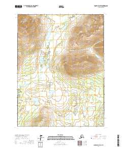
2017 · Chandalar B-5 SW
USGS Topo · 1:25,000
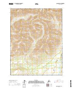
2017 · Chandalar B-6 SE
USGS Topo · 1:25,000