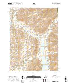
2017 Map of Chandalar C-5 SE
USGS Topo · Published 2017About this map
Twin Lakes sit at the heart of this high-latitude Alaskan landscape, surrounded by a complex network of drainage systems in the Yukon-Koyukuk region. The topographical survey highlights the varied watershed patterns formed by Robert Creek and its many tributaries, including the winding paths of Phoebe Cr and Mellow Cr. The map captures a moment in the modern era when the land remains primarily defined by its hydrology and natural elevation rather than industrial development. Smaller flows like Shady Cr and Big Jim Cr carve through the terrain, illustrating the intricate water movements that shape the valleys. This 2017 edition provides a clear view of the wilderness before any significant human infrastructure altered the remote character of these northern watercourses.
Find a feature on this map
11 named features on this map. Tap any name to fly to it.
Don’t see what you’re looking for? This feature index may not catch every label — zoom into the map to look around manually.
Map Details
Editions of this 2017 Chandalar C-5 SE Map
This is the sole edition of this map. No revisions or reprints were ever made.
Other maps of this area

1951 · Chandalar
USGS Topo · 1:250,000

1956 · Chandalar
USGS Topo · 1:250,000

1964 · Chandalar
USGS Topo · 1:250,000

1971 · Chandalar B-5
USGS Topo · 1:63,360

1971 · Chandalar C-5
USGS Topo · 1:63,360
1971 · Chandalar C-4
USGS Topo · 1:63,360
1971 · Chandalar B-4
USGS Topo · 1:63,360
2017 · Chandalar C-4 NW
USGS Topo · 1:25,000
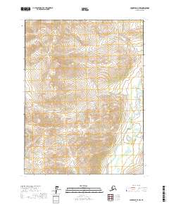
2017 · Chandalar B-4 NW
USGS Topo · 1:25,000
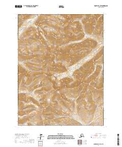
2017 · Chandalar C-4 SW
USGS Topo · 1:25,000