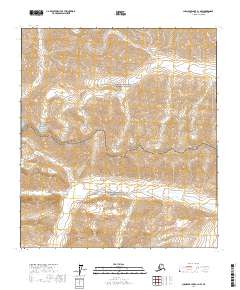
2017 Map of Chandler Lake A-1 NW
USGS Topo · Published 2017About this map
Gates of the Arctic National Preserve and Gates of the Arctic National Park meet in this 2017 survey of the Brooks Range. The landscape is defined by extreme relief, where steep mountain ridges and high-altitude basins are mapped with eighty-foot contour intervals. This quadrangle captures the administrative boundary between the park and the preserve within the North Slope Borough, illustrating the vast wilderness management zones established by the Alaska National Interest Lands Conservation Act. Aside from the township and range identifiers, such as t14s r7e, the map shows a total absence of human infrastructure, highlighting the preserved state of this arctic environment. It serves as a definitive look at the natural drainage patterns and topographical features of the Chandler Lake region before any modern encroachment.
Find a feature on this map
6 named features on this map. Tap any name to fly to it.
Don’t see what you’re looking for? This feature index may not catch every label — zoom into the map to look around manually.
Map Details
Editions of this 2017 Chandler Lake A-1 NW Map
This is the sole edition of this map. No revisions or reprints were ever made.
Other maps of this area

1951 · Chandler Lake
USGS Topo · 1:250,000

1956 · Chandler Lake
USGS Topo · 1:250,000

1964 · Chandler Lake
USGS Topo · 1:250,000
1971 · Chandler Lake A-2
USGS Topo · 1:63,360
1971 · Chandler Lake A-1
USGS Topo · 1:63,360
1971 · Chandler Lake B-2
USGS Topo · 1:63,360
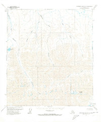
1971 · Chandler Lake B-1
USGS Topo · 1:63,360
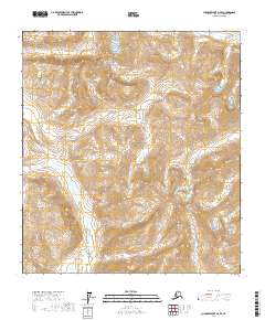
2017 · Chandler Lake A-2 SE
USGS Topo · 1:25,000
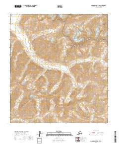
2017 · Chandler Lake A-1 SE
USGS Topo · 1:25,000
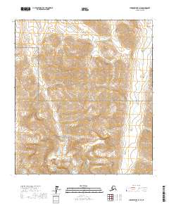
2017 · Chandler Lake B-2 SE
USGS Topo · 1:25,000