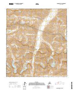
2017 Map of Chandler Lake A-2 NE
USGS Topo · Published 2017About this map
The Nanushuk River carves a deep valley through the Brooks Range in this remote portion of the North Slope. The landscape is defined by its transition from the Gates Of The Arctic National Preserve in the north to the Gates Of The Arctic National Park in the south, reflecting a wilderness managed for conservation and minimal human impact. Distinctive peaks like Marshmallow Mtn, Alapah Mtn, and the curiously named Cockedhat Mtn dominate the horizon, rising above high-elevation ice features including the West Alapah Glacier and East Alapah Glacier. The drainage of Alapah Cr provides a primary corridor through this high-latitude terrain, illustrating the classic glacial and riverine morphology characteristic of northern Alaska's interior mountains before they descend toward the arctic coastal plain.
Find a feature on this map
15 named features on this map. Tap any name to fly to it.
Don’t see what you’re looking for? This feature index may not catch every label — zoom into the map to look around manually.
Map Details
Editions of this 2017 Chandler Lake A-2 NE Map
This is the sole edition of this map. No revisions or reprints were ever made.
Other maps of this area

1951 · Chandler Lake
USGS Topo · 1:250,000

1956 · Chandler Lake
USGS Topo · 1:250,000

1964 · Chandler Lake
USGS Topo · 1:250,000
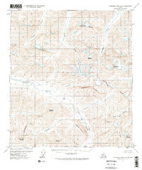
1971 · Chandler Lake A-2
USGS Topo · 1:63,360
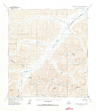
1971 · Chandler Lake A-1
USGS Topo · 1:63,360
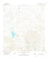
1971 · Chandler Lake B-2
USGS Topo · 1:63,360
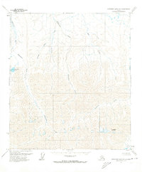
1971 · Chandler Lake B-1
USGS Topo · 1:63,360
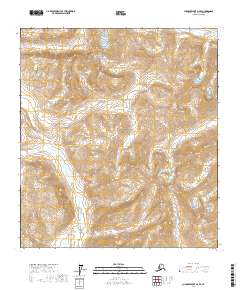
2017 · Chandler Lake A-2 SE
USGS Topo · 1:25,000
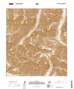
2017 · Chandler Lake A-2 NW
USGS Topo · 1:25,000
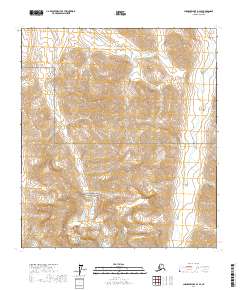
2017 · Chandler Lake B-2 SE
USGS Topo · 1:25,000