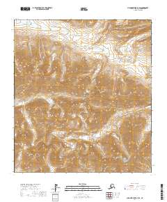
2017 Map of Chandler Lake A-2 SW
USGS Topo · Published 2017About this map
Gates Of The Arctic National Park encompasses this high-altitude landscape in the North Slope Borough, where the headwaters of several drainages carve through the central Brooks Range. The north-flowing Anaktuvuk River anchors the northwest corner of the sheet, while a complex network of creeks including Graylime Cr, Kenunga Cr, and Ernie Cr navigate the steep elevation changes between named peaks. These watercourses define the primary movement corridors through the mountainous terrain, specifically at Ernie Pass, a critical topographic low point between the surrounding summits. The prominence of Maptigak Mtn, Rumbling Mtn, and Katiktak Mtn illustrates the severe verticality of this protected wilderness. Surveyed by the U.S. Geological Survey, the map documents the pristine hydrologic and topographic state of this Arctic environment, largely untouched by permanent human infrastructure or roads.
Find a feature on this map
16 named features on this map. Tap any name to fly to it.
Don’t see what you’re looking for? This feature index may not catch every label — zoom into the map to look around manually.
Map Details
Editions of this 2017 Chandler Lake A-2 SW Map
This is the sole edition of this map. No revisions or reprints were ever made.
Other maps of this area

1951 · Chandler Lake
USGS Topo · 1:250,000

1951 · Wiseman
USGS Topo · 1:250,000

1956 · Wiseman
USGS Topo · 1:250,000

1956 · Chandler Lake
USGS Topo · 1:250,000

1964 · Wiseman
USGS Topo · 1:250,000

1964 · Chandler Lake
USGS Topo · 1:250,000
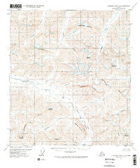
1971 · Chandler Lake A-2
USGS Topo · 1:63,360

1971 · Chandler Lake A-3
USGS Topo · 1:63,360
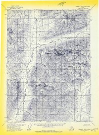
1971 · Wiseman D-2
USGS Topo · 1:63,360
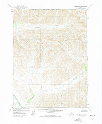
1971 · Wiseman D-3
USGS Topo · 1:63,360