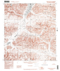
1986 Map of Chandler Lake A-5
USGS Topo · Published 1986About this map
Chandler Lake and the high peaks of the Brooks Range dominate this 1980s topographic record of the North Slope Borough. The landscape is defined by the Continental Divide, which snakes through the western portion of the map, separating the drainage systems in this subarctic environment. To the south, Agiak Lake and Amiloyak Lake are carved into the high terrain, while Mount Mac Vicar stands as a prominent landmark within the Gates of the Arctic National Park. This survey depicts the area shortly after the establishment of the Gates of the Arctic Wilderness, documenting a region with no established roads or trails. Glacial valleys are marked by the courses of Iklauyaurak Creek, Kollutarak Creek, and Ekokpuk Creek, providing a detailed look at the drainage patterns of the Umiat Meridian.
Find a feature on this map
14 named features on this map. Tap any name to fly to it.
Don’t see what you’re looking for? This feature index may not catch every label — zoom into the map to look around manually.
Map Details
Editions of this 1986 Chandler Lake A-5 Map
2 editions found
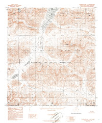
Other maps of this area

1951 · Survey Pass
USGS Topo · 1:250,000

1951 · Chandler Lake
USGS Topo · 1:250,000

1951 · Killik River
USGS Topo · 1:250,000

1951 · Wiseman
USGS Topo · 1:250,000

1956 · Wiseman
USGS Topo · 1:250,000

1956 · Survey Pass
USGS Topo · 1:250,000

1956 · Chandler Lake
USGS Topo · 1:250,000

1956 · Killik River
USGS Topo · 1:250,000

1964 · Survey Pass
USGS Topo · 1:250,000

1964 · Wiseman
USGS Topo · 1:250,000