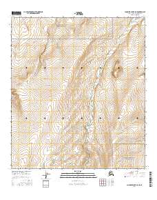
2016 Map of Chandler Lake B-5 NE
USGS Topo · Published 2016About this map
Gates of the Arctic National Park encompasses the vast majority of this 2016 survey, documenting the high-latitude drainage systems of the Brooks Range before they reach the Arctic coastal plain. The terrain is defined by the winding course of the Chandler River, which flows northward through the center of the quadrangle. Several small tributaries, including Castle Cr, Aucella Cr, and Speedway Cr, cut through the steep-sided valleys to join the main channel. This map offers a precise view of the hydrological patterns and natural topography of the North Slope in the early twenty-first century, highlighting a landscape devoid of permanent structures or roads, where natural features provide the only landmarks for navigation and study.
Find a feature on this map
9 named features on this map. Tap any name to fly to it.
Don’t see what you’re looking for? This feature index may not catch every label — zoom into the map to look around manually.
Map Details
Editions of this 2016 Chandler Lake B-5 NE Map
This is the sole edition of this map. No revisions or reprints were ever made.
Other maps of this area

1951 · Chandler Lake
USGS Topo · 1:250,000

1956 · Chandler Lake
USGS Topo · 1:250,000

1964 · Chandler Lake
USGS Topo · 1:250,000
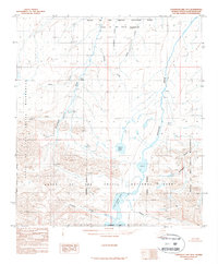
1987 · Chandler Lake B-5
USGS Topo · 1:63,360
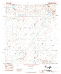
1987 · Chandler Lake C-4
USGS Topo · 1:63,360
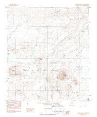
1987 · Chandler Lake C-5
USGS Topo · 1:63,360
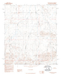
1987 · Chandler Lake B-4
USGS Topo · 1:63,360
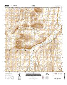
2016 · Chandler Lake B-4 NW
USGS Topo · 1:25,000
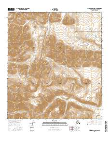
2016 · Chandler Lake B-5 SW
USGS Topo · 1:25,000
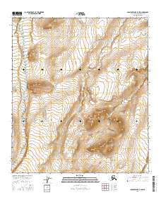
2016 · Chandler Lake C-4 SW
USGS Topo · 1:25,000