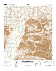
2016 Map of Chandler Lake B-5 SE
USGS Topo · Published 2016About this map
Gates of the Arctic National Park encompasses the bulk of this northern terrain, where the headwaters and high-altitude drainage systems of the North Slope are documented in sharp detail. The central artery of the landscape is the Chandler River, which flows northward through a glaciated valley floor. This corridor connects several significant alpine water bodies, including White Lake in the north and the expansive Chandler Lake and Little Chandler Lake at the southern edge of the quadrangle. The map reveals the intricate hydrologic pattern of the Brooks Range foothills, specifically the eastern tributaries like Ikagiak Cr that feed into the main river system. This 2016 survey is essential for understanding the protected wilderness boundaries and the natural drainage of one of the most secluded regions in the United States.
Find a feature on this map
12 named features on this map. Tap any name to fly to it.
Don’t see what you’re looking for? This feature index may not catch every label — zoom into the map to look around manually.
Map Details
Editions of this 2016 Chandler Lake B-5 SE Map
This is the sole edition of this map. No revisions or reprints were ever made.
Other maps of this area

1951 · Chandler Lake
USGS Topo · 1:250,000

1956 · Chandler Lake
USGS Topo · 1:250,000

1964 · Chandler Lake
USGS Topo · 1:250,000
1986 · Chandler Lake A-5
USGS Topo · 1:63,360
1986 · Chandler Lake A-4
USGS Topo · 1:63,360
1987 · Chandler Lake B-5
USGS Topo · 1:63,360
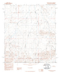
1987 · Chandler Lake B-4
USGS Topo · 1:63,360
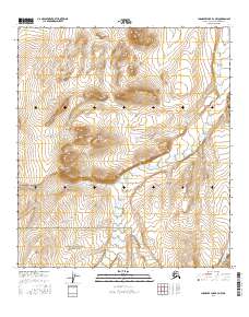
2016 · Chandler Lake B-4 NW
USGS Topo · 1:25,000
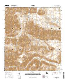
2016 · Chandler Lake B-5 SW
USGS Topo · 1:25,000
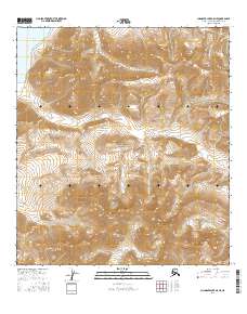
2016 · Chandler Lake A-5 NE
USGS Topo · 1:25,000