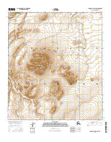
2016 Map of Chandler Lake C-5 SE
USGS Topo · Published 2016About this map
Gates of the Arctic National Park dominates this portion of the Brooks Range, where the high-altitude landscape is defined by the prominent peak of Castle Mtn. The drainage network in this sub-arctic environment is highly complex, with the Kiruktagiak River cutting through the northwestern corner while the Chandler River flows along the southeastern edge. Between these larger systems, a series of smaller waterways like Torok Cr, Castle Cr, and Speedway Cr navigate the steep elevation changes. This 2016 survey illustrates a completely undeveloped wilderness, devoid of roads or settlements, where the topographic contours reveal the sharp relief and glacial-carved valleys of the North Slope's interior highlands.
Find a feature on this map
13 named features on this map. Tap any name to fly to it.
Don’t see what you’re looking for? This feature index may not catch every label — zoom into the map to look around manually.
Map Details
Editions of this 2016 Chandler Lake C-5 SE Map
This is the sole edition of this map. No revisions or reprints were ever made.
Other maps of this area

1951 · Chandler Lake
USGS Topo · 1:250,000

1956 · Chandler Lake
USGS Topo · 1:250,000

1964 · Chandler Lake
USGS Topo · 1:250,000
1987 · Chandler Lake B-5
USGS Topo · 1:63,360
1987 · Chandler Lake C-4
USGS Topo · 1:63,360
1987 · Chandler Lake C-5
USGS Topo · 1:63,360
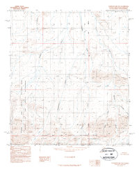
1987 · Chandler Lake B-4
USGS Topo · 1:63,360
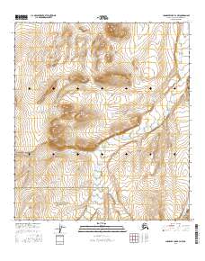
2016 · Chandler Lake B-4 NW
USGS Topo · 1:25,000
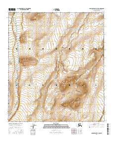
2016 · Chandler Lake C-4 SW
USGS Topo · 1:25,000
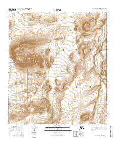
2016 · Chandler Lake C-5 SW
USGS Topo · 1:25,000