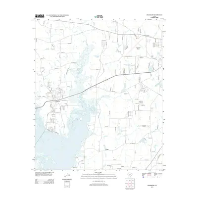
2012 Map of Chandler
USGS Topo · Published 2012About this map
The Neches River flows across this Smith County landscape, feeding the northern reaches of Lake Palestine and defining the local hydrology. The community of Chandler serves as a primary hub, while smaller settlements like Pleasant Retreat Acres and Galilee highlight the residential growth near the water's edge. Transport infrastructure is prominent, anchored by the Tyler Pounds Regional Airport in the northeast and a network of FM roads and county routes that connect these wooded lakeside areas.
Find a feature on this map
156 named features on this map. Tap any name to fly to it.
Don’t see what you’re looking for? This feature index may not catch every label — zoom into the map to look around manually.
Map Details
Editions of this 2012 Chandler Map
This is the sole edition of this map. No revisions or reprints were ever made.
Other maps of this area

1946 · Bullard
USGS Topo · 1:62,500

1948 · Bullard
USGS Topo · 1:62,500

1948 · Tyler
USGS Topo · 1:62,500

1948 · Brownsboro
USGS Topo · 1:62,500

1949 · Tyler
USGS Topo · 1:62,500

1949 · Brownsboro
USGS Topo · 1:62,500

1949 · Frankston
USGS Topo · 1:62,500

1950 · Frankston
USGS Topo · 1:62,500

1956 · Tyler
USGS Topo · 1:250,000

1966 · Chandler
USGS Topo · 1:24,000