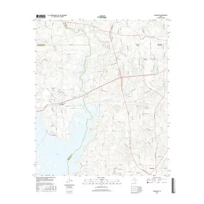
2016 Map of Chandler
USGS Topo · Published 2016About this map
The Neches River forms a winding natural boundary between Van Zandt, Henderson, and Smith Counties, feeding into the northern reaches of Lake Palestine. This West Texas landscape is defined by its complex hydrology, featuring numerous smaller bodies of water such as Peveto Lake, Club-Thirteen Lake, and Lake Placid. The settlement of Chandler sits as a primary hub west of the river, while the western outskirts of Tyler and the community of Noonday anchor the eastern side.
Find a feature on this map
126 named features on this map. Tap any name to fly to it.
Don’t see what you’re looking for? This feature index may not catch every label — zoom into the map to look around manually.
Map Details
Editions of this 2016 Chandler Map
This is the sole edition of this map. No revisions or reprints were ever made.
Other maps of this area

1946 · Bullard
USGS Topo · 1:62,500

1948 · Bullard
USGS Topo · 1:62,500

1948 · Tyler
USGS Topo · 1:62,500

1948 · Brownsboro
USGS Topo · 1:62,500

1949 · Tyler
USGS Topo · 1:62,500

1949 · Brownsboro
USGS Topo · 1:62,500

1949 · Frankston
USGS Topo · 1:62,500

1950 · Frankston
USGS Topo · 1:62,500

1956 · Tyler
USGS Topo · 1:250,000

1966 · Chandler
USGS Topo · 1:24,000