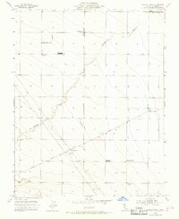
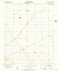
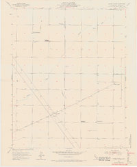
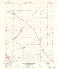
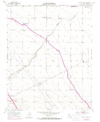
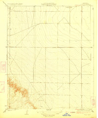
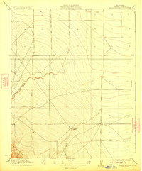
1955 Map of Chaney Ranch
USGS Topo · Published 1968About this map
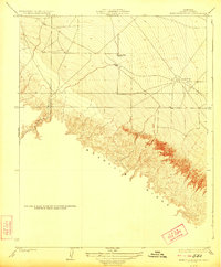
Panoche Creek winds through this Fresno County landscape, defining the topography of an era dominated by large-scale ranching and early industrial agriculture. Named ranching operations like Chaney Ranch, Pilibos Ranch, and La Jolla Ranch are prominent, accompanied by infrastructure essential to the mid-century harvest, including Fairfax Gin and Chaney Gin. The presence of two Farm Labor Camps suggests the seasonal human migration that powered the Central Valley's productivity during this period.
Find a feature on this map
24 named features on this map. Tap any name to fly to it.
Don’t see what you’re looking for? This feature index may not catch every label — zoom into the map to look around manually.
Map Details
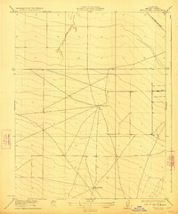
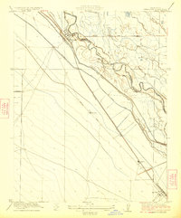
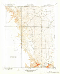
Editions of this 1955 Chaney Ranch Map
5 editions found
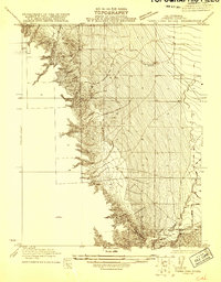
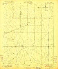
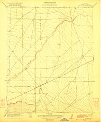
Other maps of this area

1913 · Panoche
USGS Topo · 1:125,000
1921 · Tierra Loma School
USGS Topo · 1:31,680
1922 · Tufts Ranch
USGS Topo · 1:31,680
1922 · Chaney Ranch
USGS Topo · 1:31,680
1923 · Levis
USGS Topo · 1:31,680
1923 · Wisdom Well
USGS Topo · 1:31,680
1923 · Firebaugh
USGS Topo · 1:31,680
1923 · Tierra Loma School
USGS Topo · 1:31,680
1923 · Little Panoche
USGS Topo · 1:31,680
1923 · Monocline Ridge
USGS Topo · 1:31,680