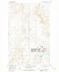
1969 Map of Chapman Coulee NE
USGS Topo · Published 1978About this map
Glasgow Air Force Base dominates the southeastern quadrant of this Montana landscape, showing a highly organized military infrastructure during the late 1960s. The base layout includes a concentrated residential area with the Westside Sch and a Jr High Sch, alongside specialized facilities like a Fire Sta, a Hospital, and multiple Athletic Field sites. This institutional presence contrasts sharply with the surrounding drainage basins of the Missouri River Basin development.
Find a feature on this map
22 named features on this map. Tap any name to fly to it.
Don’t see what you’re looking for? This feature index may not catch every label — zoom into the map to look around manually.
Map Details
Editions of this 1969 Chapman Coulee NE Map
2 editions found
Other maps of this area

1918 · Porcupine Valley
USGS Topo · 1:62,500

1919 · Boundary
USGS Topo · 1:125,000

1943 · Glasgow
USGS Topo · 1:125,000

1954 · Glasgow
USGS Topo · 1:250,000

1957 · Glasgow
USGS Topo · 1:250,000

1958 · Glasgow
USGS Topo · 1:250,000

1969 · Cornwell Reservoir
USGS Topo · 1:24,000

1969 · Chapman Coulee NE
USGS Topo · 1:24,000
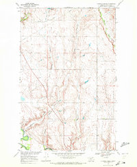
1969 · Chapman Coulee
USGS Topo · 1:24,000

1969 · Hawk Coulee
USGS Topo · 1:24,000