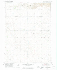
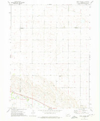
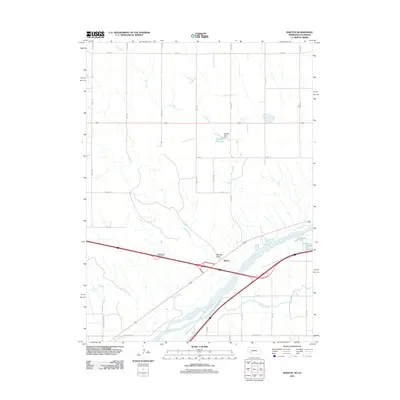
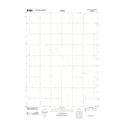
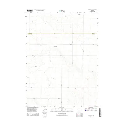
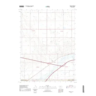
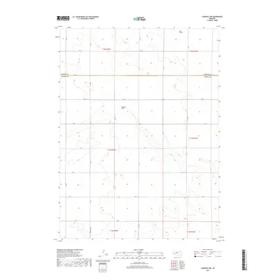
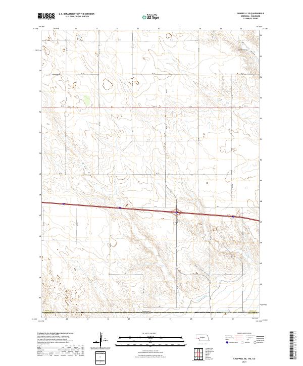
1961 Map of Chappell SE
USGS Topo · Published 1983About this map
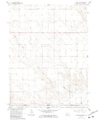
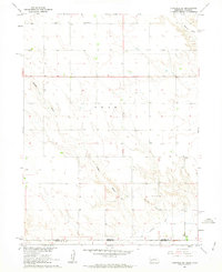
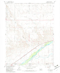
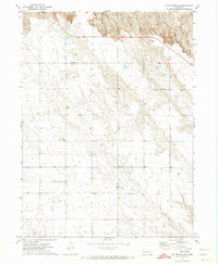
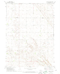
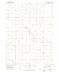
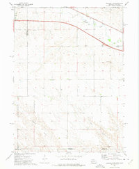
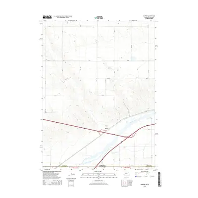
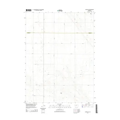
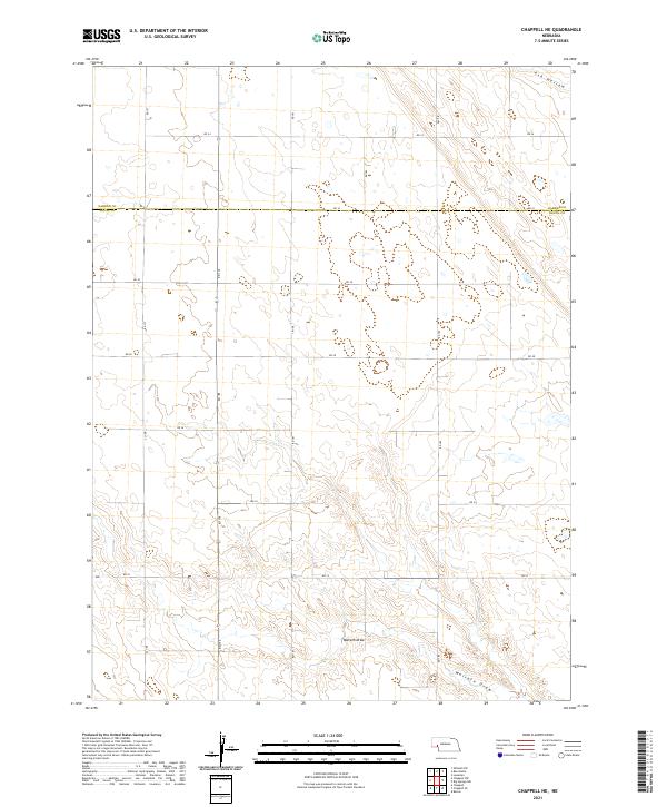
O'Neil Draw and Walrath Draw carve a system of drainage patterns across this high plains landscape at the Nebraska and Colorado border. Mapping conducted in the early 1960s captures the rural agricultural character of Deuel County and Sedgwick County, where the terrain is marked by intermittent watercourses and scattered infrastructure. The presence of Swan Center Sch in the north and School No 41 further south reflects the distributed nature of early twentieth-century rural education, serving the families who managed the surrounding rangeland. Near the State Line, the Peterson Ditch provides a concrete record of the essential irrigation efforts required to support agriculture in this arid region. This survey was produced as part of the Department of the Interior's efforts for the development of the Missouri River Basin.
Find a feature on this map
11 named features on this map. Tap any name to fly to it.
Don’t see what you’re looking for? This feature index may not catch every label — zoom into the map to look around manually.
Map Details
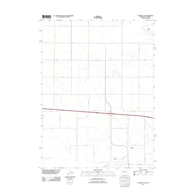
Editions of this 1961 Chappell SE Map
2 editions found
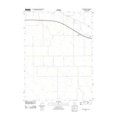
Historical Maps of Sedgwick County Through Time
43 maps found
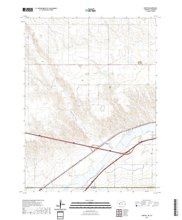
1961 Barton
Deuel County, NE
1961 Chappell SE
Deuel County, NE
1971 Big Springs NE
Deuel County, NE
1971 Big Springs NW
Deuel County, NE
1971 Chappell NE
Deuel County, NE
1971 Chappell NW
Deuel County, NE
1972 Lodgepole SE
Deuel County, NE
1972 Mount Vernon
Deuel County, NE
2010 Barton
Deuel County, NE
2010 Chappell SE
Deuel County, NE
2010 Lodgepole SE
Deuel County, NE
2011 Barton
Deuel County, NE
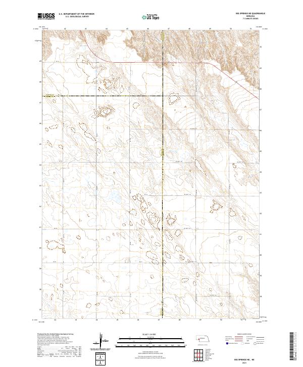
2011 Big Springs NE
Deuel County, NE
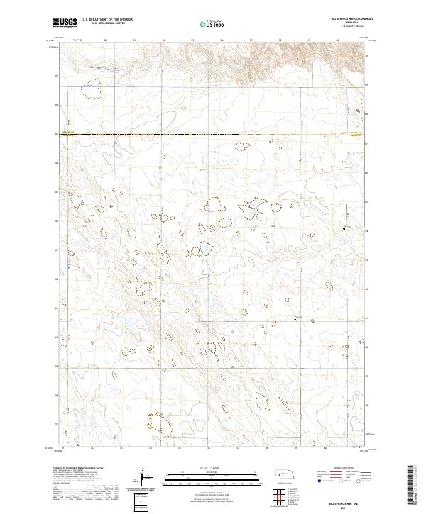
2011 Big Springs NW
Deuel County, NE
2011 Chappell NE
Deuel County, NE
2011 Chappell NW
Deuel County, NE
2011 Chappell SE
Deuel County, NE
2011 Lodgepole SE
Deuel County, NE
2011 Mount Vernon
Deuel County, NE
2014 Barton
Deuel County, NE
2014 Big Springs NE
Deuel County, NE
2014 Big Springs NW
Deuel County, NE
2014 Chappell NE
Deuel County, NE
2014 Chappell NW
Deuel County, NE
2014 Chappell SE
Deuel County, NE
2014 Lodgepole SE
Deuel County, NE
2014 Mount Vernon
Deuel County, NE
2017 Barton
Deuel County, NE
2017 Big Springs NE
Deuel County, NE
2017 Big Springs NW
Deuel County, NE
2017 Chappell NE
Deuel County, NE
2017 Chappell NW
Deuel County, NE
2017 Chappell SE
Deuel County, NE
2017 Lodgepole SE
Deuel County, NE
2017 Mount Vernon
Deuel County, NE
2021 Barton
Deuel County, NE
2021 Big Springs NE
Deuel County, NE
2021 Big Springs NW
Deuel County, NE
2021 Chappell NE
Deuel County, NE
2021 Chappell NW
Deuel County, NE
2021 Chappell SE
Deuel County, NE
2021 Lodgepole SE
Deuel County, NE
2021 Mount Vernon
Deuel County, NE