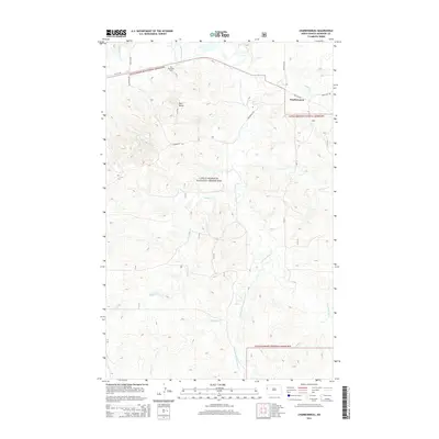
2014 Map of Charbonneau
USGS Topo · Published 2014About this map
Little Missouri National Grassland encompasses much of this McKenzie County landscape, where the prairie is deeply etched by a complex drainage system. The settlement of Charbonneau sits at the northern edge, serving as a focal point for the surrounding ranching and agricultural lands. North of Bull Butte, the map identifies Nameless Cem, a site of significant interest for local genealogists and historians tracing early pioneer roots in this portion of the Badlands region.
Find a feature on this map
17 named features on this map. Tap any name to fly to it.
Don’t see what you’re looking for? This feature index may not catch every label — zoom into the map to look around manually.
Map Details
Editions of this 2014 Charbonneau Map
This is the sole edition of this map. No revisions or reprints were ever made.
Other maps of this area

1953 · Watford City
USGS Topo · 1:250,000

1957 · Watford City
USGS Topo · 1:250,000

1967 · Watford City
USGS Topo · 1:250,000
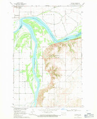
1968 · Buford
USGS Topo · 1:24,000
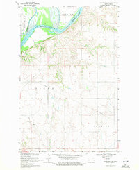
1969 · Cartwright NE
USGS Topo · 1:24,000
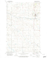
1972 · Alexander
USGS Topo · 1:24,000
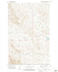
1972 · Horse Creek School
USGS Topo · 1:24,000
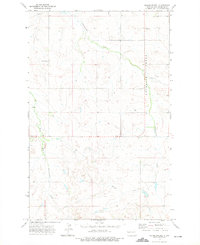
1972 · Moline School
USGS Topo · 1:24,000
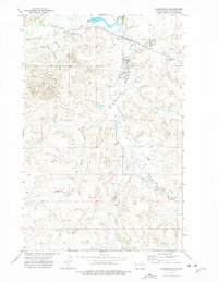
1972 · Charbonneau
USGS Topo · 1:24,000
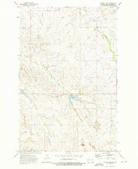
1972 · Sather Lake
USGS Topo · 1:24,000