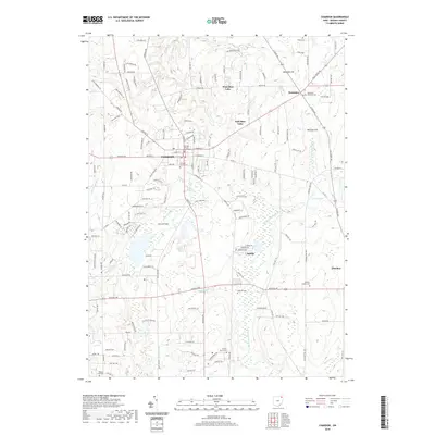
2019 Map of Chardon
USGS Topo · Published 2019About this map
The Geauga County Courthouse serves as the focal point for this area of Northeast Ohio, where the headwaters of several significant river systems begin their descent. The landscape is defined by its glacial hydrology, with the W Br Cuyahoga River and Butternut Cr draining toward the south while the E Br Chagrin River flows to the west. This drainage divide has historically shaped the settlement patterns of Chardon and its surrounding townships.
Find a feature on this map
139 named features on this map. Tap any name to fly to it.
Don’t see what you’re looking for? This feature index may not catch every label — zoom into the map to look around manually.
Map Details
Editions of this 2019 Chardon Map
This is the sole edition of this map. No revisions or reprints were ever made.
Other maps of this area

1904 · Chardon
USGS Topo · 1:62,500

1905 · Garrettsville
USGS Topo · 1:62,500

1905 · Mentor
USGS Topo · 1:62,500

1906 · Chardon
USGS Topo · 1:62,500

1906 · Chagrin Falls
USGS Topo · 1:62,500

1907 · Garrettsville
USGS Topo · 1:62,500

1907 · Mentor
USGS Topo · 1:62,500

1908 · Chagrin Falls
USGS Topo · 1:62,500

1950 · Cleveland
USGS Topo · 1:250,000

1953 · Chardon
USGS Topo · 1:24,000