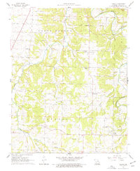
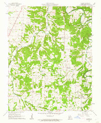
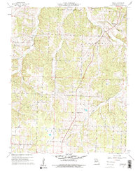
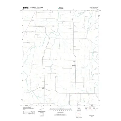
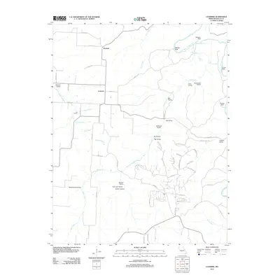
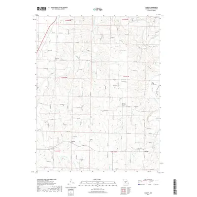
1961 Map of Charity
USGS Topo · Published 1977About this map
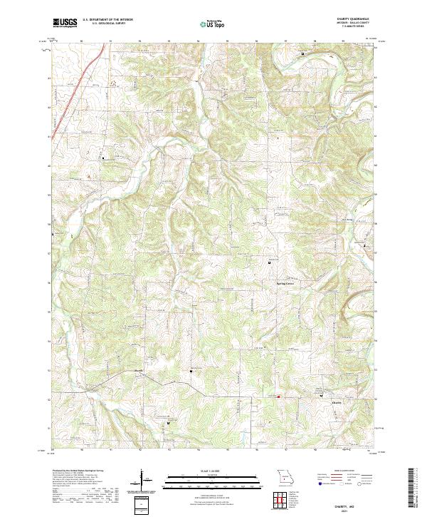
The Niangua River snakes through the northeast corner of this central Missouri landscape, where the rural communities of Spring Grove, Charity, and March anchor a network of country roads. Surveyed at the start of the 1960s, the map reveals a deeply established social fabric of small congregations and local schools, including McGee Chapel, Macedonia Ch, and the Charity Sch. Family-named cemeteries like Fraker Cem and Davidson Cem are scattered throughout the townships of South Benton and Jackson, providing valuable data for genealogists tracing Ozark roots. The terrain is defined by a dense drainage network of creek branches, such as Greasy Creek and Hog Eye Branch, which historically dictated the placement of early homesteads and the small industrial footprint of a local Quarry.
Find a feature on this map
31 named features on this map. Tap any name to fly to it.
Don’t see what you’re looking for? This feature index may not catch every label — zoom into the map to look around manually.
Map Details
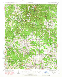
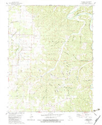
Editions of this 1961 Charity Map
2 editions found
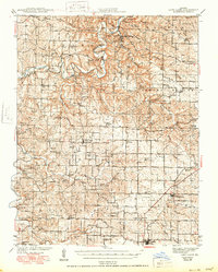
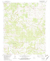
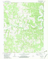
Historical Maps of Charity Through Time
27 maps found
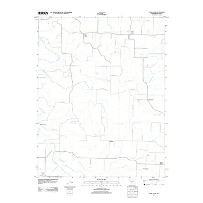
1939 Long Lane
Dallas County, MO
1942 Long Lane
Dallas County, MO
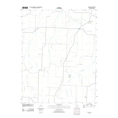
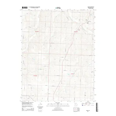
1960 Tunas
Dallas County, MO
1961 Charity
Dallas County, MO
1982 Leadmine
Dallas County, MO
1982 Long Lane
Dallas County, MO
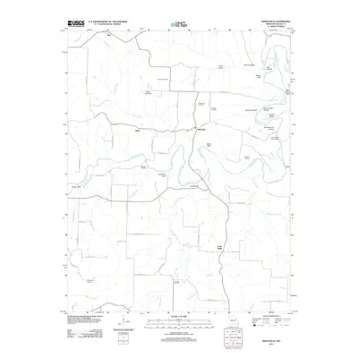
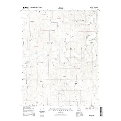
1982 Windyville
Dallas County, MO
2011 Charity
Dallas County, MO
2011 Long Lane
Dallas County, MO
2011 Tunas
Dallas County, MO
2011 Windyville
Dallas County, MO
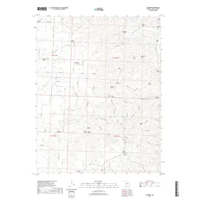
2012 Leadmine
Dallas County, MO
2015 Charity
Dallas County, MO
2015 Leadmine
Dallas County, MO
2015 Long Lane
Dallas County, MO
2015 Tunas
Dallas County, MO
2015 Windyville
Dallas County, MO
2017 Charity
Dallas County, MO
2017 Leadmine
Dallas County, MO
2017 Long Lane
Dallas County, MO
2017 Tunas
Dallas County, MO
2017 Windyville
Dallas County, MO
2021 Charity
Dallas County, MO
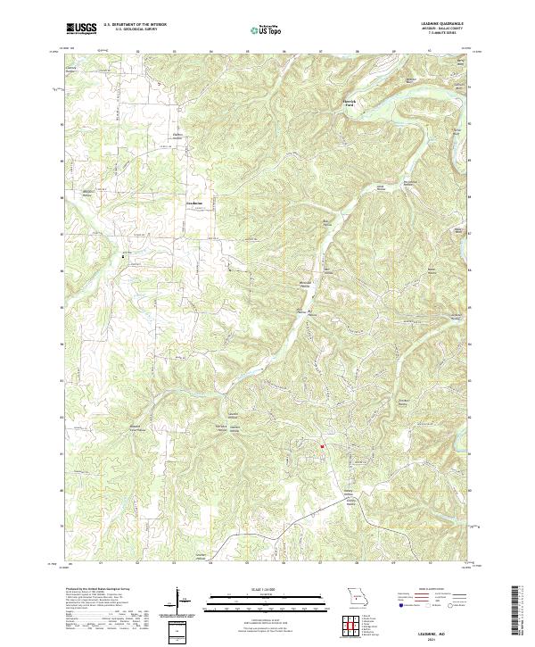
2021 Leadmine
Dallas County, MO
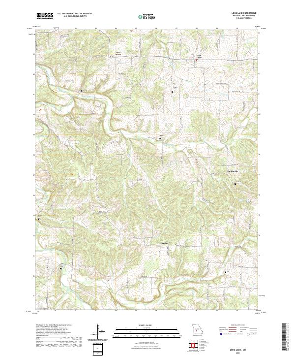
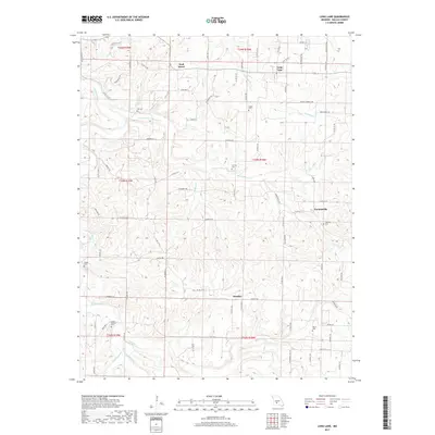
2021 Long Lane
Dallas County, MO
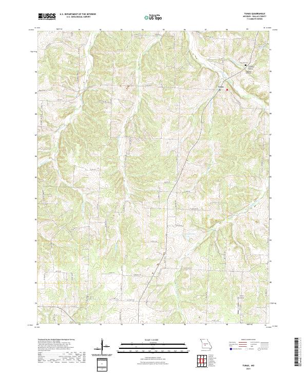
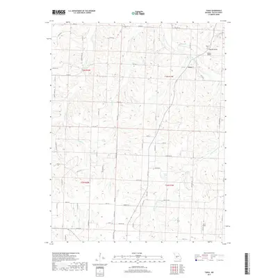
2021 Tunas
Dallas County, MO
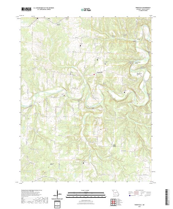
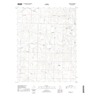
2021 Windyville
Dallas County, MO