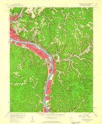
1957 Map of Charleston East
USGS Topo · Published 1959About this map
The State Capitol stands prominently along the north bank of the Kanawha River in this late-1950s survey of West Virginia's seat of government. This map captures a pivotal era of infrastructure development, featuring the West Virginia Turnpike (Toll Road) as it curves south through South Malden and Marmet. Urban expansion is evident in the residential clusters of Kanawha City and Dupont City, while institutional landmarks like Morris Harvey College, Memorial Hospital, and the Hillcrest Sanitarium anchor the community's mid-century footprint.
Find a feature on this map
91 named features on this map. Tap any name to fly to it.
Don’t see what you’re looking for? This feature index may not catch every label — zoom into the map to look around manually.
Map Details
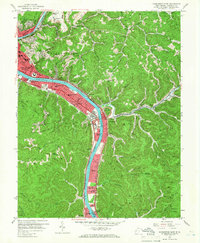
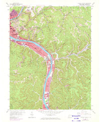
Editions of this 1957 Charleston East Map
3 editions found
Other maps of this area

1897 · Kanawha Falls
USGS Topo · 1:125,000

1899 · Charleston
USGS Topo · 1:125,000

1900 · Kanawha Falls
USGS Topo · 1:125,000

1901 · Kanawha Falls
USGS Topo · 1:125,000

1907 · Clendenin
USGS Topo · 1:62,500

1908 · Montgomery
USGS Topo · 1:48,000

1909 · Charleston
USGS Topo · 1:62,500

1909 · Clendenin
USGS Topo · 1:62,500

1909 · Peytona
USGS Topo · 1:48,000

1910 · Montgomery
USGS Topo · 1:62,500