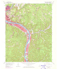
1957 Map of Charleston East
USGS Topo · Published 1973About this map
The Kanawha River serves as the industrial and civic spine of this West Virginia landscape, winding past the Capitol and the sprawling Kanawha City district. During the late 1950s and into the early 1970s, the region saw significant infrastructure growth, highlighted by the West Virginia Turnpike (Toll Road) and the expansion of the Kanawha Airport atop the leveled hills. The riverbanks are a dense corridor of transportation and commerce, where the Chesapeake and Ohio RR and New York Central RR flank the water, supporting communities like Malden and Dupont City.
Find a feature on this map
107 named features on this map. Tap any name to fly to it.
Don’t see what you’re looking for? This feature index may not catch every label — zoom into the map to look around manually.
Map Details
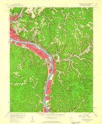
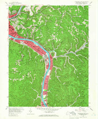
Editions of this 1957 Charleston East Map
3 editions found
Other maps of this area

1897 · Kanawha Falls
USGS Topo · 1:125,000

1899 · Charleston
USGS Topo · 1:125,000

1900 · Kanawha Falls
USGS Topo · 1:125,000

1901 · Kanawha Falls
USGS Topo · 1:125,000

1907 · Clendenin
USGS Topo · 1:62,500

1908 · Montgomery
USGS Topo · 1:48,000

1909 · Charleston
USGS Topo · 1:62,500

1909 · Clendenin
USGS Topo · 1:62,500

1909 · Peytona
USGS Topo · 1:48,000

1910 · Montgomery
USGS Topo · 1:62,500