
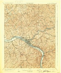
1909 Map of Charleston
USGS Topo · Published 1909About this map
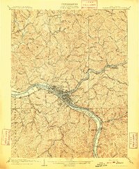
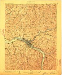
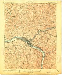
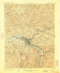
Charleston and its burgeoning suburbs are the focal point of this 1909 survey, revealing a landscape defined by the convergence of the Kanawha River and the Elk River. The map details a period of intense industrial and transportation growth, showing the intricate network of the Kanawha and Michigan, Chesapeake and Ohio, and other regional rail lines that hugged the riverbanks. Early industrial nodes such as Mason Sta Graham Mines P.O. and South Charleston appear alongside rural landmarks like Morgan Chapel and the Morning Star School Church. The presence of river navigation infrastructure, including Lock 6 near Dunbar, underscores the Kanawha's role as a vital commercial artery. Genealogists and local historians will find significant detail in the dispersed rural settlements like Copenhaver and Aarons that dot the surrounding hill country.
Find a feature on this map
99 named features on this map. Tap any name to fly to it.
Don’t see what you’re looking for? This feature index may not catch every label — zoom into the map to look around manually.
Map Details
Editions of this 1909 Charleston Map
6 editions found
Other maps of this area

1897 · Kanawha Falls
USGS Topo · 1:125,000

1899 · Charleston
USGS Topo · 1:125,000

1900 · Kanawha Falls
USGS Topo · 1:125,000

1901 · Kanawha Falls
USGS Topo · 1:125,000

1906 · Kenna
USGS Topo · 1:62,500

1906 · Winfield
USGS Topo · 1:62,500

1906 · Walton
USGS Topo · 1:62,500

1907 · Kenna
USGS Topo · 1:62,500

1907 · Walton
USGS Topo · 1:62,500

1907 · Clendenin
USGS Topo · 1:62,500