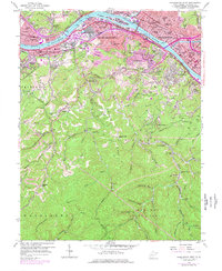
1958 Map of Charleston West
USGS Topo · Published 1978About this map
Industrial and urban development along the Kanawha River anchors this 1958 topographic survey, updated through the mid-1970s. The massive Naval Ordnance Plant occupies a prominent position in South Charleston, reflecting the region's mid-century defense and manufacturing significance. The urban landscape of Charleston and Dunbar is contrasted by the steep, wooded ridges to the south, where numerous hollows like Dryden Hollow and Polly Hollow provide a glimpse into the traditional geography of the West Virginia hills.
Find a feature on this map
73 named features on this map. Tap any name to fly to it.
Don’t see what you’re looking for? This feature index may not catch every label — zoom into the map to look around manually.
Map Details
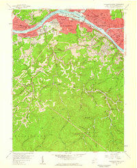
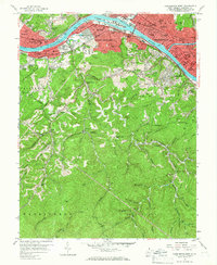
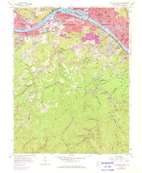
Editions of this 1958 Charleston West Map
4 editions found
Other maps of this area

1899 · Charleston
USGS Topo · 1:125,000

1909 · Charleston
USGS Topo · 1:62,500

1909 · Peytona
USGS Topo · 1:48,000

1909 · Saint Albans
USGS Topo · 1:62,500

1911 · Peytona
USGS Topo · 1:62,500

1911 · Madison
USGS Topo · 1:62,500

1929 · Madison
USGS Topo · 1:62,500

1929 · Peytona
USGS Topo · 1:62,500

1931 · Madison
USGS Topo · 1:62,500

1931 · Saint Albans
USGS Topo · 1:62,500