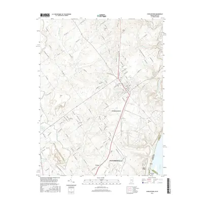
2016 Map of Charlestown
USGS Topo · Published 2016About this map
Charlestown and the northern reaches of Jeffersonville sit at the center of this landscape, where the sprawling suburban and industrial layout of Southern Indiana meets the natural drainage of the Ohio River valley. The terrain is deeply incised by numerous waterways such as Fourteenmile Creek, Silver Creek, and Muddy Fork, creating a complex series of ridges and hollows that historically dictated road placement and settlement patterns. A high density of small family and community burial grounds, including Saint Michaels Cem, Robinson Cem, and Fifty-four Cem, are preserved among the winding county roads like Opossum Trot Rd and Tunnel Mill Rd. To the south, the River Ridge area and the settlement of Utica mark the transition toward the riverfront, punctuated by Twelvemile Island in the main channel of the Ohio River, illustrating the enduring relationship between the region's topography and its development.
Find a feature on this map
131 named features on this map. Tap any name to fly to it.
Don’t see what you’re looking for? This feature index may not catch every label — zoom into the map to look around manually.
Map Details
Editions of this 2016 Charlestown Map
This is the sole edition of this map. No revisions or reprints were ever made.
Other maps of this area

1905 · Prospect
USGS Topo · 1:62,500

1912 · Prospect
USGS Topo · 1:62,500

1937 · Jeffersonville
USGS Topo · 1:24,000

1937 · Charlestown
USGS Topo · 1:24,000

1938 · Owen
USGS Topo · 1:24,000

1938 · Speed
USGS Topo · 1:24,000

1939 · New Albany
USGS Topo · 1:24,000

1946 · Jeffersonville
USGS Topo · 1:24,000

1946 · New Albany
USGS Topo · 1:24,000

1947 · Speed
USGS Topo · 1:24,000