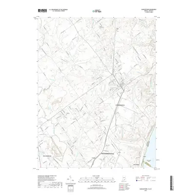
2019 Map of Charlestown
USGS Topo · Published 2019About this map
Charlestown and the northern outskirts of Jeffersonville anchor this 2019 survey, showcasing a landscape defined by the drainage networks of Silver Creek and Fourteenmile Creek as they approach the Ohio River. The map reveals a dense concentration of family and community burial grounds, including the Robinson Robertson Cem, Bottorff Cem, and Friends Cem, which serve as vital markers of the region's genealogical history.
Find a feature on this map
143 named features on this map. Tap any name to fly to it.
Don’t see what you’re looking for? This feature index may not catch every label — zoom into the map to look around manually.
Map Details
Editions of this 2019 Charlestown Map
This is the sole edition of this map. No revisions or reprints were ever made.
Other maps of this area

1905 · Prospect
USGS Topo · 1:62,500

1912 · Prospect
USGS Topo · 1:62,500

1937 · Jeffersonville
USGS Topo · 1:24,000

1937 · Charlestown
USGS Topo · 1:24,000

1938 · Owen
USGS Topo · 1:24,000

1938 · Speed
USGS Topo · 1:24,000

1939 · New Albany
USGS Topo · 1:24,000

1946 · Jeffersonville
USGS Topo · 1:24,000

1946 · New Albany
USGS Topo · 1:24,000

1947 · Speed
USGS Topo · 1:24,000