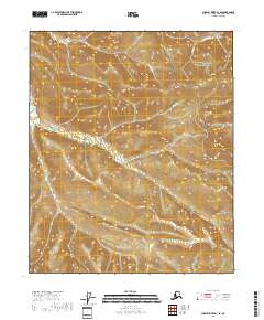
2018 Map of Charley River A-3 SE
USGS Topo · Published 2018About this map
The Yukon-Charley Rivers National Preserve covers the vast majority of this interior Alaskan landscape, documenting a region defined by its complex drainage systems and isolation. Multiple significant waterways, including Washington Cr and Eagle Cr, carve through the terrain, illustrating the natural water-driven erosion patterns of the Yukon River basin. The nomenclature of features like Placer Cr, Seventeen Gulch, and Fourth of July Cr suggests a history of prospectors and mineral exploration that likely drew individuals to these remote drainages during earlier gold rush eras. This 2018 survey provides a clear view of the wilderness character of the Southeast Fairbanks Census Area, where traditional naming conventions like Owl Gulch and Ruby Cr remain the primary indicators of human interaction with the land.
Find a feature on this map
14 named features on this map. Tap any name to fly to it.
Don’t see what you’re looking for? This feature index may not catch every label — zoom into the map to look around manually.
Map Details
Editions of this 2018 Charley River A-3 SE Map
This is the sole edition of this map. No revisions or reprints were ever made.
Other maps of this area

1899 · Fortymile
USGS Topo · 1:250,000

1951 · Charley River
USGS Topo · 1:250,000

1951 · Eagle
USGS Topo · 1:250,000

1956 · Charley River A-3
USGS Topo · 1:63,360

1956 · Charley River A-2
USGS Topo · 1:63,360

1956 · Charley River
USGS Topo · 1:250,000

1956 · Eagle D-2
USGS Topo · 1:63,360

1956 · Eagle D-3
USGS Topo · 1:63,360

1957 · Eagle
USGS Topo · 1:250,000
2018 · Charley River A-2 NW
USGS Topo · 1:25,000