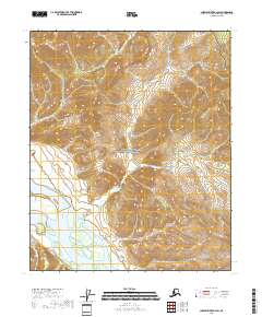
2018 Map of Charley River B-2 SW
USGS Topo · Published 2018About this map
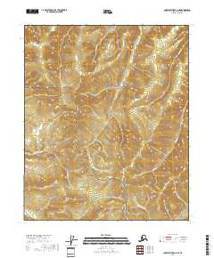
Yukon-Charley Rivers National Preserve dominates this section of the interior, where the Yukon River cuts a wide path through the landscape. The river is the primary corridor for movement and drainage, joined by tributaries such as Butte Creek and Logan Creek. To the southwest, the Mertie Mountains rise above the drainage basins, providing a significant topographical contrast to the riparian lowlands. This survey illustrates the relationship between these heights and the expansive wetlands that border the main river channel. Smaller waterways like Dewey Cr and Butte Cr feed into the larger system, creating a complex network of active and seasonal watercourses that have historically dictated travel and survival in this portion of Alaska.
Find a feature on this map
11 named features on this map. Tap any name to fly to it.
Don’t see what you’re looking for? This feature index may not catch every label — zoom into the map to look around manually.
Map Details
Editions of this 2018 Charley River B-2 SW Map
This is the sole edition of this map. No revisions or reprints were ever made.
Other maps of this area

1951 · Charley River
USGS Topo · 1:250,000

1956 · Charley River B-3
USGS Topo · 1:63,360

1956 · Charley River B-2
USGS Topo · 1:63,360

1956 · Charley River A-3
USGS Topo · 1:63,360

1956 · Charley River A-2
USGS Topo · 1:63,360

1956 · Charley River
USGS Topo · 1:250,000
2018 · Charley River A-2 NE
USGS Topo · 1:25,000
2018 · Charley River A-2 NW
USGS Topo · 1:25,000
2018 · Charley River B-3 SE
USGS Topo · 1:25,000
2018 · Charley River A-3 NE
USGS Topo · 1:25,000