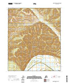
2018 Map of Charley River B-4 NE
USGS Topo · Published 2018About this map
The Yukon River flows through the southern portion of this interior Alaska quadrangle, carving a wide path beneath the prominent heights of Biederman Bluff. Much of the landscape is protected within the Yukon-Charley Rivers National Preserve, where the river serves as the primary corridor through a wilderness largely devoid of roads or permanent settlements. The northern reaches of the map are defined by the drainage of Threemile Cr, which winds through the complex topography of the Eagle district. The boundary between the Yukon-Koyukuk Census Area and the Southeast Fairbanks Census Area crosses the river, marking a jurisdictional division in this sparsely populated region. This survey documents the intersection of natural landmarks and administrative boundaries in the vast Tanana-Yukon Uplands.
Find a feature on this map
11 named features on this map. Tap any name to fly to it.
Don’t see what you’re looking for? This feature index may not catch every label — zoom into the map to look around manually.
Map Details
Editions of this 2018 Charley River B-4 NE Map
This is the sole edition of this map. No revisions or reprints were ever made.
Other maps of this area

1951 · Charley River
USGS Topo · 1:250,000

1956 · Charley River B-3
USGS Topo · 1:63,360

1956 · Charley River C-4
USGS Topo · 1:63,360
1956 · Charley River C-3
USGS Topo · 1:63,360

1956 · Charley River B-4
USGS Topo · 1:63,360

1956 · Charley River
USGS Topo · 1:250,000
2018 · Charley River C-4 SE
USGS Topo · 1:25,000
2018 · Charley River B-4 SW
USGS Topo · 1:25,000
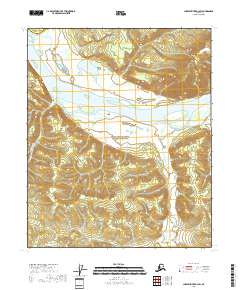
2018 · Charley River B-3 SW
USGS Topo · 1:25,000
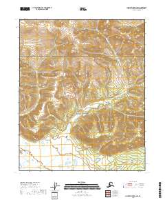
2018 · Charley River B-4 NW
USGS Topo · 1:25,000