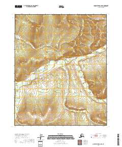
2018 Map of Charley River C-2 NW
USGS Topo · Published 2018About this map
The Draanjik River winds through this expanse of the Yukon-Koyukuk Census Area, dominating the low-lying drainage patterns that define the northern interior. This 2018 survey reveals a landscape largely shaped by seasonal wetlands and the shifting course of the water, which provides a critical corridor for subsistence and travel in the Charley River region. While the terrain includes elevation gains toward the northeast and southwest corners, the map primarily illustrates the intricate hydrography and public land surveying boundaries within t11n r28e and surrounding townships. For those tracking the geography of Alaska’s interior, this sheet offers a clear look at the undeveloped wilderness and natural hydrology as it existed in the early 21st century.
Find a feature on this map
8 named features on this map. Tap any name to fly to it.
Don’t see what you’re looking for? This feature index may not catch every label — zoom into the map to look around manually.
Map Details
Editions of this 2018 Charley River C-2 NW Map
This is the sole edition of this map. No revisions or reprints were ever made.
Other maps of this area

1951 · Charley River
USGS Topo · 1:250,000

1956 · Charley River C-2
USGS Topo · 1:63,360

1956 · Charley River D-3
USGS Topo · 1:63,360
1956 · Charley River C-3
USGS Topo · 1:63,360

1956 · Charley River D-2
USGS Topo · 1:63,360

1956 · Charley River
USGS Topo · 1:250,000
2018 · Charley River C-3 SE
USGS Topo · 1:25,000
2018 · Charley River D-2 SW
USGS Topo · 1:25,000
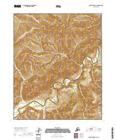
2018 · Charley River C-2 SE
USGS Topo · 1:25,000
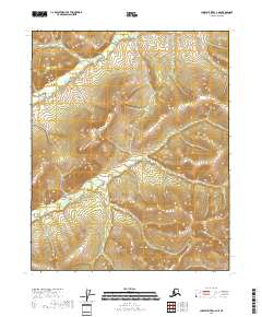
2018 · Charley River C-2 NE
USGS Topo · 1:25,000