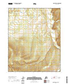
2018 Map of Charley River C-3 NE
USGS Topo · Published 2018About this map
The Draanjik River flows through this remote interior landscape, cutting through the eastern portions of the quadrangle. This 2018 survey documents a region characterized by its lack of human infrastructure, focusing instead on the hydrological and topographical reality of the Yukon-Koyukuk Census Area. The river's meandering course provides the primary geographic orientation for the surrounding townships, including T11n R27e and T10n R27e. The map serves as a vital record of the natural drainage patterns and elevation changes in this part of Alaska, where the landscape remains largely shaped by water and terrain rather than settlement or industrial development.
Find a feature on this map
7 named features on this map. Tap any name to fly to it.
Don’t see what you’re looking for? This feature index may not catch every label — zoom into the map to look around manually.
Map Details
Editions of this 2018 Charley River C-3 NE Map
This is the sole edition of this map. No revisions or reprints were ever made.
Other maps of this area

1951 · Charley River
USGS Topo · 1:250,000

1956 · Charley River C-2
USGS Topo · 1:63,360

1956 · Charley River D-3
USGS Topo · 1:63,360
1956 · Charley River C-3
USGS Topo · 1:63,360

1956 · Charley River D-2
USGS Topo · 1:63,360

1956 · Charley River
USGS Topo · 1:250,000
2018 · Charley River C-3 NW
USGS Topo · 1:25,000
2018 · Charley River C-3 SE
USGS Topo · 1:25,000
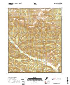
2018 · Charley River C-3 SW
USGS Topo · 1:25,000
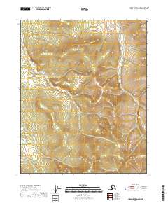
2018 · Charley River D-2 SW
USGS Topo · 1:25,000