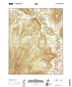
2018 Map of Charley River D-3 NE
USGS Topo · Published 2018About this map
Draanjik River meanders across this northern landscape in the Yukon-Koyukuk Census Area, defining a territory of complex hydrology and changing elevations. The river's winding path is the central geographic feature, accompanied by its confluence with the Wood River. In the northwest, Bear Mountain Cr flows through the township of t14n r26e, where the terrain begins to rise steadily. This 2018 survey reveals an area primarily characterized by its natural water systems and the systematic grid of the Public Land Survey System, including sections within t13n r27e and t12n r27e. The map serves as a contemporary record of these remote waterways before they shift through natural erosion and seasonal flooding cycles in the Alaskan interior.
Find a feature on this map
9 named features on this map. Tap any name to fly to it.
Don’t see what you’re looking for? This feature index may not catch every label — zoom into the map to look around manually.
Map Details
Editions of this 2018 Charley River D-3 NE Map
This is the sole edition of this map. No revisions or reprints were ever made.
Other maps of this area

1951 · Charley River
USGS Topo · 1:250,000

1951 · Black River
USGS Topo · 1:250,000

1956 · Black River A-2
USGS Topo · 1:63,360

1956 · Black River A-3
USGS Topo · 1:63,360

1956 · Charley River D-3
USGS Topo · 1:63,360

1956 · Black River
USGS Topo · 1:250,000

1956 · Charley River D-2
USGS Topo · 1:63,360

1956 · Charley River
USGS Topo · 1:250,000

1964 · Black River
USGS Topo · 1:250,000
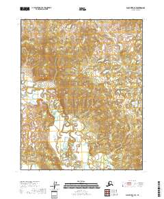
2018 · Black River A-3 SE
USGS Topo · 1:25,000