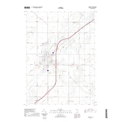
2019 Map of Charlotte
USGS Topo · Published 2019About this map
The Eaton County Courthouse serves as the focal point for Charlotte, Michigan, in this 2019 survey. The city's grid is well-defined, transitioning from dense residential and municipal cores into the surrounding agricultural landscape of Eaton County. Local aviation is anchored by Fitch H Beach Airport to the northeast, while the southern reaches of the township include recreational spaces like Crippen Field.
Find a feature on this map
121 named features on this map. Tap any name to fly to it.
Don’t see what you’re looking for? This feature index may not catch every label — zoom into the map to look around manually.
Map Details
Editions of this 2019 Charlotte Map
This is the sole edition of this map. No revisions or reprints were ever made.
Other maps of this area

1910 · Lansing
USGS Topo · 1:62,500

1912 · Lansing
USGS Topo · 1:62,500

1919 · Springport
USGS Topo · 1:62,500

1921 · Springport
USGS Topo · 1:62,500

1921 · Marshall
USGS Topo · 1:62,500

1923 · Marshall
USGS Topo · 1:62,500

1943 · Marshall
USGS Topo · 1:62,500

1949 · Charlotte
USGS Topo · 1:62,500

1958 · Grand Rapids
USGS Topo · 1:250,000

1961 · Grand Rapids
USGS Topo · 1:250,000