
2017 Map of Chase
USGS Topo · Published 2017About this map
South Branch Potomac River winds through the heart of the South Branch Valley in this 1965 topographic survey of Hardy County. The town of Moorefield serves as a central hub, where the B & O RR tracks parallel the river, marking the importance of rail transport for the region's mid-century agricultural and industrial development. This map is particularly valuable for genealogical research, as it identifies numerous family burial grounds and landmarks scattered across the landscape, including the Herriott Cemetery, Taylor Cemetery, Cunningham Cem, and Kuykendall Cem. Smaller communities like McNeill, Seymour, and Brake are nestled among the ridges of Mill Creek Mountain and South Branch Mountain. Significant sites such as the Trough Club and the County Infirmary provide glimpses into the social fabric of the area, while various schools and churches like Duffey Ch highlight established local neighborhoods.
Find a feature on this map
26 named features on this map. Tap any name to fly to it.
Don’t see what you’re looking for? This feature index may not catch every label — zoom into the map to look around manually.
Map Details
Editions of this 2017 Chase Map
This is the sole edition of this map. No revisions or reprints were ever made.
Other maps of this area
1954 · McCook
USGS Topo · 1:250,000
1957 · McCook
USGS Topo · 1:250,000
1958 · McCook
USGS Topo · 1:250,000
1961 · Lamar NE
USGS Topo · 1:24,000
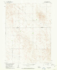
1961 · Lamar
USGS Topo · 1:24,000
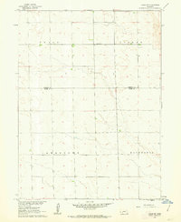
1961 · Lamar NW
USGS Topo · 1:24,000
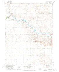
1973 · Champion
USGS Topo · 1:24,000
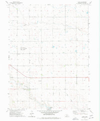
1973 · Lamar
USGS Topo · 1:24,000
1973 · Chase
USGS Topo · 1:24,000
1973 · Imperial
USGS Topo · 1:24,000