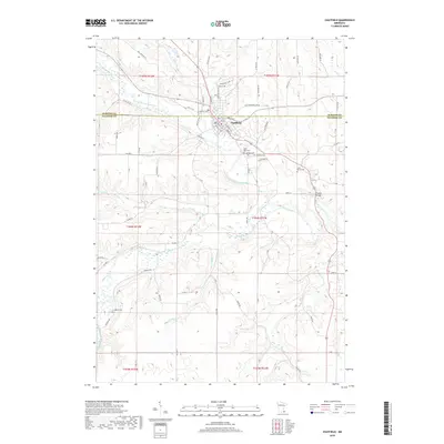
2019 Map of Chatfield
USGS Topo · Published 2019About this map
The city of Chatfield straddles the county line between Olmsted and Fillmore, serving as a hub where the North Branch Root River and Mill Cr converge. This 2019 survey shows a landscape defined by deeply incised river valleys and high agricultural plateaus, with the modern street grid of the city center anchored by Main St and Division St NW. The topography is particularly complex where the Middle Branch Root River meanders through the southern half of the quadrangle, creating a series of wooded bluffs and riparian wetlands.
Find a feature on this map
79 named features on this map. Tap any name to fly to it.
Don’t see what you’re looking for? This feature index may not catch every label — zoom into the map to look around manually.
Map Details
Editions of this 2019 Chatfield Map
This is the sole edition of this map. No revisions or reprints were ever made.
Other maps of this area

1954 · Chatfield
USGS Topo · 1:62,500

1954 · Mason City
USGS Topo · 1:250,000

1955 · Stewartville
USGS Topo · 1:62,500

1957 · Mason City
USGS Topo · 1:250,000

1958 · Mason City
USGS Topo · 1:250,000

1965 · Wykoff
USGS Topo · 1:24,000

1965 · Fountain
USGS Topo · 1:24,000
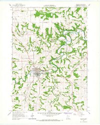
1965 · Preston
USGS Topo · 1:24,000
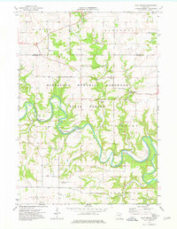
1974 · Pilot Mound
USGS Topo · 1:24,000
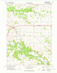
1974 · Marion
USGS Topo · 1:24,000