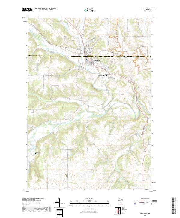
2022 Map of Chatfield
USGS Topo · Published 2022About this map
Chatfield sits at the convergence of the North Branch Root River and Mill Cr, straddling the border of Olmsted and Fillmore counties. This modern topographic study reveals a landscape defined by deeply carved river valleys and an intricate network of rural routes, including the Old Territorial Rd NE. The town's local history is anchored by several burial grounds, such as Saint Paul Cem, Calvary Cem, and Chatfield Cem, which lie just south of the main settlement.
Find a feature on this map
72 named features on this map. Tap any name to fly to it.
Don’t see what you’re looking for? This feature index may not catch every label — zoom into the map to look around manually.
Map Details
Editions of this 2022 Chatfield Map
This is the sole edition of this map. No revisions or reprints were ever made.
Other maps of this area

1954 · Chatfield
USGS Topo · 1:62,500

1954 · Mason City
USGS Topo · 1:250,000

1955 · Stewartville
USGS Topo · 1:62,500

1957 · Mason City
USGS Topo · 1:250,000

1958 · Mason City
USGS Topo · 1:250,000

1965 · Wykoff
USGS Topo · 1:24,000

1965 · Fountain
USGS Topo · 1:24,000
1965 · Preston
USGS Topo · 1:24,000
1974 · Pilot Mound
USGS Topo · 1:24,000
1974 · Marion
USGS Topo · 1:24,000