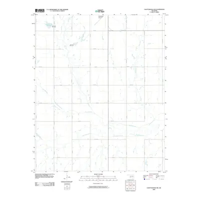
2009 Map of Chattanooga SW
USGS Topo · Published 2009About this map
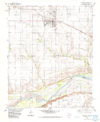
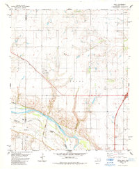
Deep Red Creek and Little Deep Red Creek meander across this Tillman County landscape, defining the local drainage patterns in the decade before 2010. The region is characterized by a precise grid of rural roads, including n2400 RD and e1850 RD, which facilitate movement between the agricultural parcels of southwestern Oklahoma. Water management is a central feature of the terrain, evidenced by several specialized infrastructure projects such as the Jack Creek Site 5 Dam, which forms the Jack Creek Site 5 Reservoir, and the Jack Creek Site 7 Dam further downstream. The Chattanooga Sky Harbor Airport stands out as a key navigational landmark in the northern portion of the quadrangle, serving the transportation needs of this prairie landscape.
Find a feature on this map
26 named features on this map. Tap any name to fly to it.
Don’t see what you’re looking for? This feature index may not catch every label — zoom into the map to look around manually.
Map Details
Editions of this 2009 Chattanooga SW Map
This is the sole edition of this map. No revisions or reprints were ever made.
Other maps of this area

1955 · Lawton
USGS Topo · 1:250,000

1957 · Burkburnett
USGS Topo · 1:62,500

1958 · Electra
USGS Topo · 1:62,500

1962 · Chattanooga
USGS Topo · 1:62,500
1974 · Hollister
USGS Topo · 1:24,000
1974 · Hollister NE
USGS Topo · 1:24,000
1985 · Augur Creek
USGS Topo · 1:24,000
1985 · Grandfield
USGS Topo · 1:24,000
1985 · Devol
USGS Topo · 1:24,000

1985 · Burkburnett
USGS Topo · 1:100,000