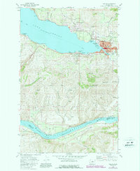
1901 Map of Chelan
USGS Topo · Published 1950About this map
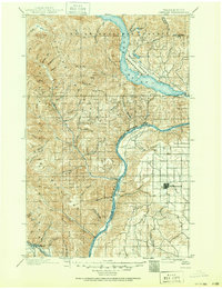
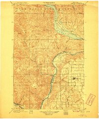
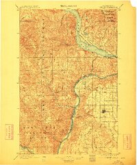
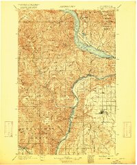
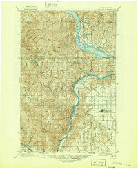
Lake Chelan dominates this turn-of-the-century landscape, carving deep into the Chelan National Forest and defining the western border of the Wapato Indian Reservation. The map captures the region’s early development as a hub for both transportation and industry, with the Great Northern Railway following the river valley through Cashmere. The stark transition from the high peaks of Stormy Mt and Tyee Mt to the grid-patterned agriculture surrounding Waterville illustrates the diverse economy of North Central Washington at this time. Early lakeside settlements like Lakeside and Chelan are visible alongside smaller landings and junctions such as Orondo and Corbaley on the Columbia. Genealogists will find interest in the numerous canyons and creeks, including McKenzie Canyon and Potato Cr, which hint at early homesteading and resource extraction before later 20th-century developments changed the local geography.
Find a feature on this map
54 named features on this map. Tap any name to fly to it.
Don’t see what you’re looking for? This feature index may not catch every label — zoom into the map to look around manually.
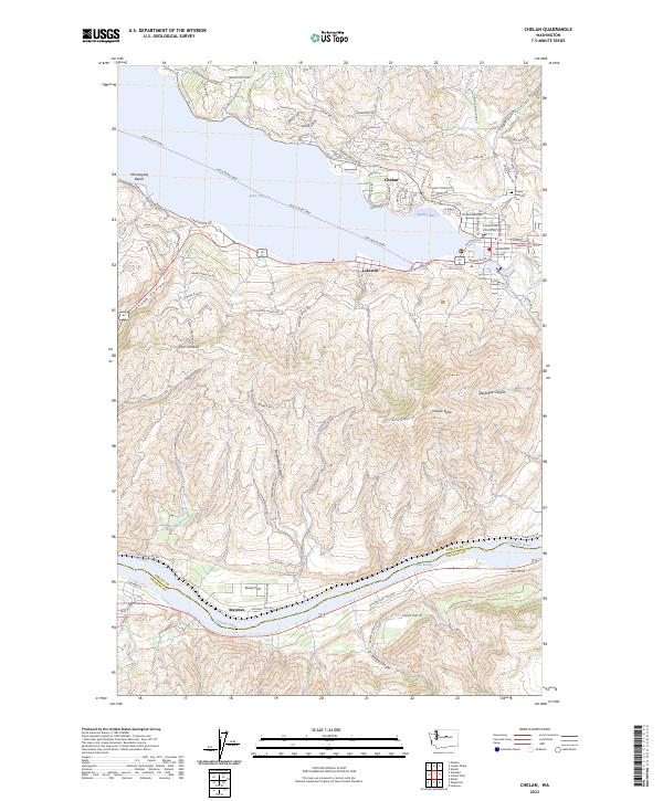
Map Details
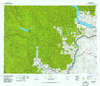
Editions of this 1901 Chelan Map
6 editions found

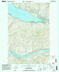
Historical Maps of Chelan Through Time
5 maps found