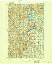
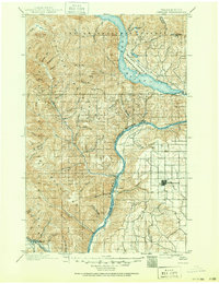
1901 Map of Chelan
USGS Topo · Published 1945About this map
The Columbia River and Lake Chelan dominate this late 19th-century survey, illustrating a landscape defined by dramatic elevation changes and early regional development. The town of Waterville sits atop the plateau to the east, while settlements like Lakeside and Chelan cluster near the lake's southern outlet. This map captures the territory before modern infrastructure reshaped the valley, showing the Wapato Indian Reservation and the Chelan National Forest prior to decades of boundary shifts. The winding course of the Mad River and numerous canyons such as Corbaley Canyon and Spencer Canyon reveal the complex drainage patterns feeding the Columbia. Along the southern edge, the Great Northern Railway follows the Wenatchee River through Cashmere, marking the vital transportation corridor that linked these mountain communities to broader markets.
Find a feature on this map
61 named features on this map. Tap any name to fly to it.
Don’t see what you’re looking for? This feature index may not catch every label — zoom into the map to look around manually.
Map Details
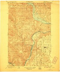
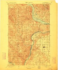
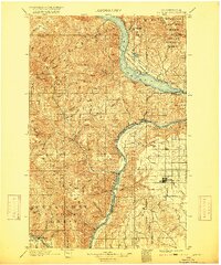
Editions of this 1901 Chelan Map
6 editions found
Other maps of this area

1897 · Mount Stuart
USGS Topo · 1:125,000

1899 · Methow
USGS Topo · 1:125,000

1901 · Chelan
USGS Topo · 1:125,000

1901 · Methow
USGS Topo · 1:125,000

1901 · Chiwaukum
USGS Topo · 1:125,000

1902 · Mount Stuart
USGS Topo · 1:125,000

1902 · Stehekin
USGS Topo · 1:125,000

1904 · Stehekin
USGS Topo · 1:125,000

1904 · Chiwaukum
USGS Topo · 1:125,000

1905 · Okanogan
USGS Topo · 1:125,000