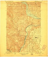
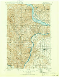
1901 Map of Chelan
USGS Topo · Published 1907About this map
The Columbia River serves as a massive geographic divider in this late 19th-century survey, separating the high plateau of the Big Bend country from the steep peaks of the Entiat Mountains. On the eastern shore, the fledgling town of Waterville is established on a surveyed grid, while the western banks are dominated by the Washington Forest Reserve and the Wapato Indian Reservation. The map captures the early development of Lake Chelan at its southeastern foot, where Chelan and Lakeside were just beginning to take root as gateway settlements.
Find a feature on this map
38 named features on this map. Tap any name to fly to it.
Don’t see what you’re looking for? This feature index may not catch every label — zoom into the map to look around manually.
Map Details
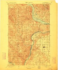
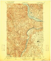
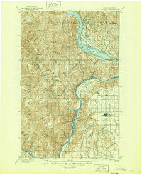
Editions of this 1901 Chelan Map
6 editions found
Other maps of this area

1897 · Mount Stuart
USGS Topo · 1:125,000

1899 · Methow
USGS Topo · 1:125,000

1901 · Chelan
USGS Topo · 1:125,000

1901 · Methow
USGS Topo · 1:125,000

1901 · Chiwaukum
USGS Topo · 1:125,000

1902 · Mount Stuart
USGS Topo · 1:125,000

1902 · Stehekin
USGS Topo · 1:125,000

1904 · Stehekin
USGS Topo · 1:125,000

1904 · Chiwaukum
USGS Topo · 1:125,000

1905 · Okanogan
USGS Topo · 1:125,000