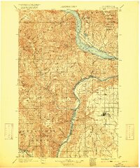
1901 Map of Chelan
USGS Topo · Published 1917About this map
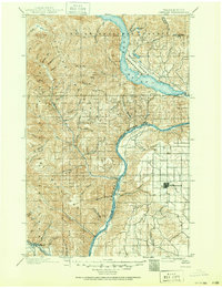
Lake Chelan dominates the upper reaches of this landscape, its deep waters carved into the mountains long before the turn of the century. The 1897-98 survey records a transition from the developing orchards and settlements like Chelan and Lakeside to the protected expanse of the Wapato Indian Reservation. To the south, the Columbia River forms a massive corridor through the high plateaus, acting as a natural boundary between Chelan and Douglas counties.
Find a feature on this map
62 named features on this map. Tap any name to fly to it.
Don’t see what you’re looking for? This feature index may not catch every label — zoom into the map to look around manually.
Map Details
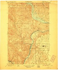
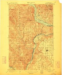
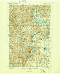
Editions of this 1901 Chelan Map
6 editions found
Other maps of this area

1897 · Mount Stuart
USGS Topo · 1:125,000

1899 · Methow
USGS Topo · 1:125,000

1901 · Chelan
USGS Topo · 1:125,000

1901 · Methow
USGS Topo · 1:125,000

1901 · Chiwaukum
USGS Topo · 1:125,000

1902 · Mount Stuart
USGS Topo · 1:125,000

1902 · Stehekin
USGS Topo · 1:125,000

1904 · Stehekin
USGS Topo · 1:125,000

1904 · Chiwaukum
USGS Topo · 1:125,000

1905 · Okanogan
USGS Topo · 1:125,000