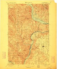
1901 Map of Chelan
USGS Topo · Published 1912About this map
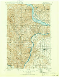
The Columbia River carves a deep path through North Central Washington in this 1890s era survey, separating the high plateau of Waterville from the steep peaks of the Entiat Mountains. Along the riverbanks, small riverside hubs like Entiat and Orondo serve as critical points of contact between the water and the rising terrain. Further north, the southern tip of Lake Chelan reveals the early layout of Chelan and the nearby settlement of Lakeside, which sit at the threshold of the Wapato Indian Reservation.
Find a feature on this map
42 named features on this map. Tap any name to fly to it.
Don’t see what you’re looking for? This feature index may not catch every label — zoom into the map to look around manually.
Map Details
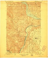
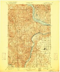
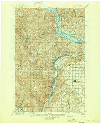
Editions of this 1901 Chelan Map
6 editions found
Other maps of this area

1897 · Mount Stuart
USGS Topo · 1:125,000

1899 · Methow
USGS Topo · 1:125,000

1901 · Chelan
USGS Topo · 1:125,000

1901 · Methow
USGS Topo · 1:125,000

1901 · Chiwaukum
USGS Topo · 1:125,000

1902 · Mount Stuart
USGS Topo · 1:125,000

1902 · Stehekin
USGS Topo · 1:125,000

1904 · Stehekin
USGS Topo · 1:125,000

1904 · Chiwaukum
USGS Topo · 1:125,000

1905 · Okanogan
USGS Topo · 1:125,000