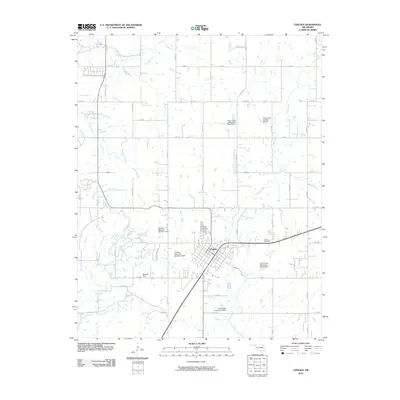
2010 Map of Chelsea
USGS Topo · Published 2010About this map
Chelsea serves as the primary hub of this Rogers County landscape, centered at the intersection of a established grid system and local routes. The town’s history is reflected in its organized streets and the nearby Chelsea Cemetery, while the rural surroundings are defined by a managed water system. Numerous impoundments, including Chelsea Reservoir Number 1 Dam and Chelsea Reservoir Number 2 Dam, illustrate a concerted effort to control local drainage.
Find a feature on this map
46 named features on this map. Tap any name to fly to it.
Don’t see what you’re looking for? This feature index may not catch every label — zoom into the map to look around manually.
Map Details
Editions of this 2010 Chelsea Map
This is the sole edition of this map. No revisions or reprints were ever made.
Other maps of this area

1896 · Pryor
USGS Topo · 1:125,000

1901 · Claremore
USGS Topo · 1:125,000

1901 · Nowata
USGS Topo · 1:125,000

1901 · Vinita
USGS Topo · 1:125,000

1901 · Pryor
USGS Topo · 1:125,000

1913 · Vinita
USGS Topo · 1:125,000

1914 · Nowata
USGS Topo · 1:125,000

1914 · Claremore
USGS Topo · 1:125,000

1916 · Claremore
USGS Topo · 1:125,000

1954 · Tulsa
USGS Topo · 1:250,000