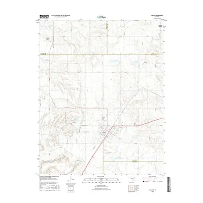
2016 Map of Chelsea
USGS Topo · Published 2016About this map
Chelsea serves as the primary hub in this corner of Northeast Oklahoma, where the prairie landscape is defined by an extensive network of water management sites. The town's grid is bounded by the Cchelsa BY-Pas and the nearby Chelsea Reservoir Number 1 and Chelsea Reservoir Number 2, reflecting the area's mid-century water infrastructure development. To the north, the settlement of New Alluwe stands near the headwaters of Panther Cr, while the rural expanse is dotted with community landmarks like Shady Grove Cem and Snider Cem.
Find a feature on this map
75 named features on this map. Tap any name to fly to it.
Don’t see what you’re looking for? This feature index may not catch every label — zoom into the map to look around manually.
Map Details
Editions of this 2016 Chelsea Map
This is the sole edition of this map. No revisions or reprints were ever made.
Other maps of this area

1896 · Pryor
USGS Topo · 1:125,000

1901 · Claremore
USGS Topo · 1:125,000

1901 · Nowata
USGS Topo · 1:125,000

1901 · Vinita
USGS Topo · 1:125,000

1901 · Pryor
USGS Topo · 1:125,000

1913 · Vinita
USGS Topo · 1:125,000

1914 · Nowata
USGS Topo · 1:125,000

1914 · Claremore
USGS Topo · 1:125,000

1916 · Claremore
USGS Topo · 1:125,000

1954 · Tulsa
USGS Topo · 1:250,000