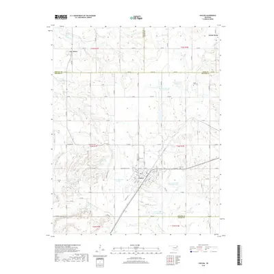
2018 Map of Chelsea
USGS Topo · Published 2018About this map
The town of Chelsea serves as the central hub of this Rogers County landscape, where the grid of city streets like Olive St and W 6th St meets the rural section lines of northeastern Oklahoma. This survey documents the area's complex water management system, featuring the Chelsea Reservoir and Chelsea Reservoir Number 2, alongside numerous watershed sites and reservoirs on the tributaries of Pryor Creek. Small settlements like New Alluwe and Bowlin Spring are recorded along the county boundaries with Nowata and Craig counties.
Find a feature on this map
66 named features on this map. Tap any name to fly to it.
Don’t see what you’re looking for? This feature index may not catch every label — zoom into the map to look around manually.
Map Details
Editions of this 2018 Chelsea Map
This is the sole edition of this map. No revisions or reprints were ever made.
Other maps of this area

1896 · Pryor
USGS Topo · 1:125,000

1901 · Claremore
USGS Topo · 1:125,000

1901 · Nowata
USGS Topo · 1:125,000

1901 · Vinita
USGS Topo · 1:125,000

1901 · Pryor
USGS Topo · 1:125,000

1913 · Vinita
USGS Topo · 1:125,000

1914 · Nowata
USGS Topo · 1:125,000

1914 · Claremore
USGS Topo · 1:125,000

1916 · Claremore
USGS Topo · 1:125,000

1954 · Tulsa
USGS Topo · 1:250,000